Enable Location

We need your location to show you interesting places around you

Discover nearby places

Find interesting locations and hidden gems around you

Precise directions

Get accurate directions and distances to places

Your location is never shared with other users. It's only used when you tap the location button.

Bend

Log in to your account

Start exploring — it's free

Trusted by 62,370 travelers worldwide

Continue with Google
Continue with Apple
or

We will send you a code to connect

By continuing, you accept our Terms and Conditions and our Privacy Policy

Check your inbox

We've sent a pincode in your inbox. Please enter the code below.

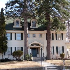
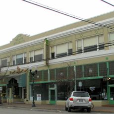
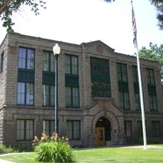
Bend, County seat in Central Oregon, US.

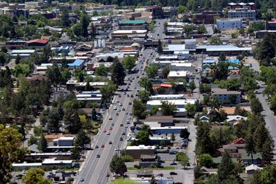
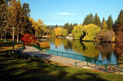
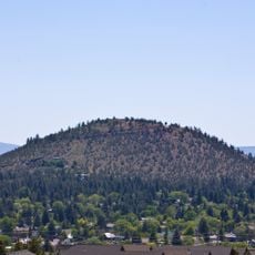
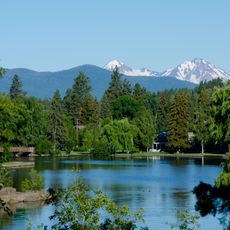
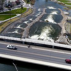
Bend is a city and county seat in Central Oregon, lying beside the Deschutes River at an elevation of 3622 feet (1104 meters), with the Cascade Range rising to the west. Trails and parks spread throughout town and connect the riverbanks with nearby forests, offering paths for walking and cycling.

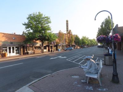
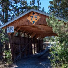
The town formed in 1905 as a logging camp and took its name from the river bend where pioneers forded the Deschutes on their westward route. Over the following decades the small settlement grew into a regional center for timber and later for outdoor tourism.

Across town, breweries connect as part of the Bend Ale Trail, where visitors can watch how local beer is made and sample freshly tapped kegs. Many taprooms welcome families during daytime hours and the brewers themselves often chat with guests about ingredients and methods.

Roberts Field Airport links the town with larger West Coast cities, while U.S. Route 97 runs directly north to Portland and south into California. Most trails and natural areas sit within a short drive from downtown and remain easiest to reach during summer months.

Mount Bachelor ski area nearby keeps one of the longest ski seasons in North America, opening from November through May. Even in late spring, upper slopes often hold several feet of snow while trees down in the valley have already turned green.

The community of curious travelers

AroundUs brings together thousands of curated places, local tips, and hidden gems, enriched daily by 60,000 contributors worldwide.

Start exploring
Location
Inception
1905
Elevation above the sea
1,104 m
GPS coordinates
44.05639,-121.30806
Latest update
December 15, 2025 07:40
Around this place
The last Blockbuster
United States of America

The last Blockbuster

1.3 km
Pilot Butte
United States of America

Pilot Butte

2.1 km
Les Schwab Amphitheater
United States of America

Les Schwab Amphitheater

1.3 km
Mirror Pond
United States of America

Mirror Pond

794 m
Old St. Francis School
United States of America

Old St. Francis School

477 m
Vince Genna Stadium
United States of America

Vince Genna Stadium

1.6 km
N. P. Smith Pioneer Hardware Store
United States of America

N. P. Smith Pioneer Hardware Store

588 m
Thomas McCann House
United States of America

Thomas McCann House

827 m
O'Kane Building
United States of America

O'Kane Building

491 m
George Palmer and Dorothy Binney Putnam House
United States of America

George Palmer and Dorothy Binney Putnam House

771 m
Reid School
United States of America

Reid School

726 m
Old Bend High School
United States of America

Old Bend High School

636 m
Goodwillie–Allen House
United States of America

Goodwillie–Allen House

647 m
Sun Mountain Fun Center
United States of America

Sun Mountain Fun Center

3.2 km
Charles Boyd Homestead Group
United States of America

Charles Boyd Homestead Group

3.1 km
Deschutes Public Library Administration Building
United States of America

Deschutes Public Library Administration Building

667 m
United States of America

Deschutes Historical Museum

733 m
Congress Apartments
United States of America

Congress Apartments

1.2 km
Rock O' the Range Bridge
United States of America

Rock O' the Range Bridge

7.6 km
Downing Building
United States of America

Downing Building

432 m
Evan Andreas Sather House
United States of America

Evan Andreas Sather House

778 m
Old U.S. Post Office
United States of America

Old U.S. Post Office

544 m
Ponderosa Skatepark
United States of America

Ponderosa Skatepark

2.3 km
New Taggart Hotel
United States of America

New Taggart Hotel

412 m
United States of America

Sound Garden

2.9 km
B. A. and Ruth Stover House
United States of America

B. A. and Ruth Stover House

920 m
Robert D. Moore House
United States of America

Robert D. Moore House

837 m
Bend Whitewater Park
United States of America

Bend Whitewater Park

1.3 km
Show the full map
« Bend - County seat in Central Oregon, US » is provided by Around Us (aroundus.com). Images and texts are derived from Wikimedia project under a Creative Commons license. You are allowed to copy, distribute, and modify copies of this page, under the conditions set by the license, as long as this note is clearly visible.

Discover hidden gems everywhere you go!

From secret cafés to breathtaking viewpoints, skip the crowded tourist spots and find places that match your style. Our app makes it easy with voice search, smart filtering, route optimization, and insider tips from travelers worldwide. Download now for the complete mobile experience.

Around Us App Screenshot

A unique approach to discovering new places

Le Figaro

All the places worth exploring

France Info

A tailor-made excursion in just a few clicks

20 Minutes

Around Us
Travel Guide & Maps
Download

Send to your phone

QR Code
1

Open the camera app on your mobile.

2

Point at the QR code with your camera. A notification will appear.

3

Tap the notification to open the link.