Oregon Route 242, state highway in Oregon, United States
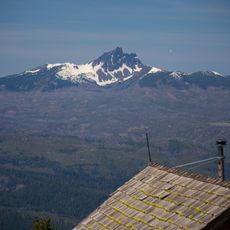
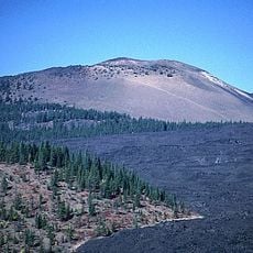
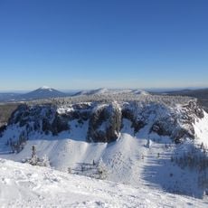
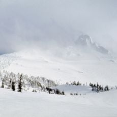
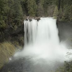
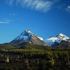
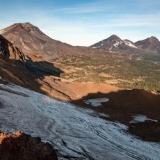
Oregon Route 242, also known as the McKenzie Highway, is a narrow mountain road through central Oregon that passes over McKenzie Pass and connects Belknap Springs and Sisters. The road climbs about 2000 feet (610 m) in elevation and passes ancient lava fields, ending at around 5,325 feet (1,623 m) at the Dee Wright Observatory, a structure built from lava rocks.
The road was built in the 1870s as a private toll route for wagons traveling through the area. In 1877, a mail carrier named John Templeton Craig disappeared during a snowstorm, highlighting the dangers of early travel in this remote region.
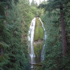
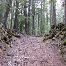
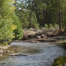
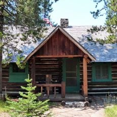
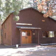
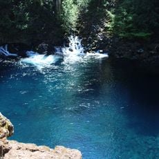
The road connects small towns like Sisters and McKenzie Bridge, where travelers stop to experience local shops and restaurants offering regional food and goods. The area has become known as a place where people travel slowly and deliberately to enjoy nature.
The road is open from mid-June to late October and closes with gates and signs when heavy snow arrives. There are no gas stations, restaurants, or stores along the route, so plan ahead and bring water, a first aid kit, and repair tools for your vehicle or bike.
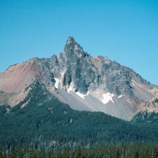
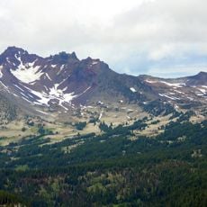
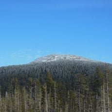
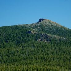
The nearby volcanic formations like Belknap Crater and Collier Cone show remarkably recent activity, with Collier Cone erupting only about 400 years ago. Small earthquakes still occur in the region, showing that geological activity continues in this area today.
The community of curious travelers
AroundUs brings together thousands of curated places, local tips, and hidden gems, enriched daily by 60,000 contributors worldwide.