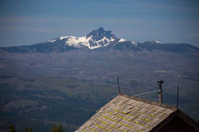
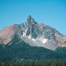
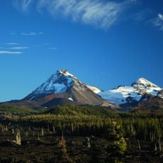
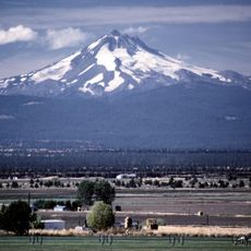
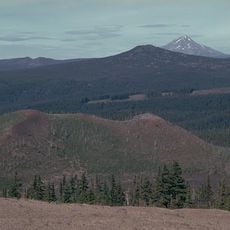
Three Fingered Jack, Volcanic summit in Cascade Range, Oregon, United States.
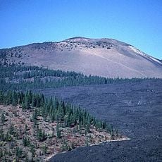
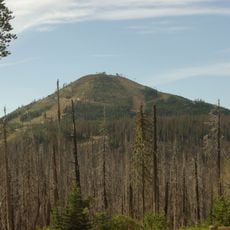
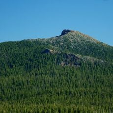
Three Fingered Jack is a volcanic summit in the Cascade Range defined by its jagged ridges made of tephra and exposed radiating dikes. The peak rises to 2,391 meters above sea level and showcases the raw geology from its volcanic origins.
The mountain received its current name in the early 1900s after being called Mount Marion previously. David Douglas explored the region in 1825, setting the stage for later geographic mapping and the eventual renaming of the peak.
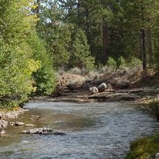
The Molala people used this landscape for salmon fishing and gathering resources, and their historical presence shapes how visitors understand the region today. The area remains a place where you can feel the connection between former inhabitants and the natural world around you.
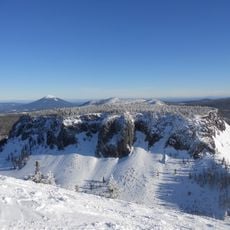
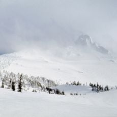
You will need a Northwest Forest Pass to park at the trailhead and a self-issued wilderness permit available at the parking area. Plan your visit during warmer months when snow does not block the routes and conditions are safer for hiking.
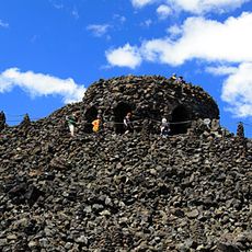
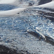
The summit is supported by an unusually narrow ridge formed from a single dike, which creates technical climbing challenges that catch many hikers off guard. This geological quirk makes it a more demanding destination than its height alone might suggest.
The community of curious travelers
AroundUs brings together thousands of curated places, local tips, and hidden gems, enriched daily by 60,000 contributors worldwide.