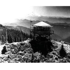
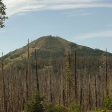
Mount Jefferson Wilderness, Wilderness area in the Cascade Range, Oregon, United States.
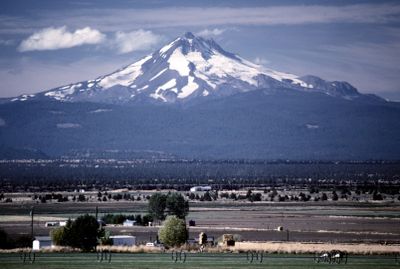
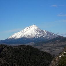
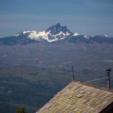
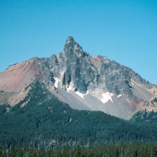
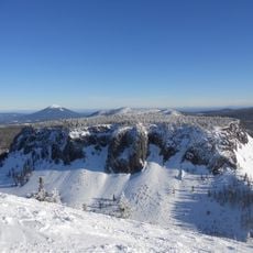
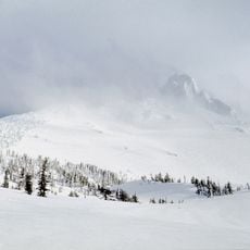
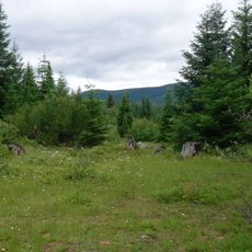
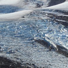
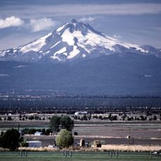
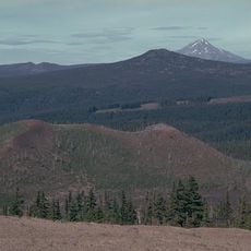
Mount Jefferson Wilderness encompasses over 111,000 acres across three Oregon counties, featuring alpine meadows, rocky slopes, numerous lakes, and the towering 10,497-foot Mount Jefferson peak with five surrounding glaciers.
Designated as a wilderness area in 1968 through Public Law 90-548, Mount Jefferson Wilderness became part of the National Wilderness Preservation System with additional protections added through the 1984 Oregon Wilderness Act.
The Warm Springs Indian Reservation shares a northeastern border with the wilderness, reflecting the area's significance to local Indigenous communities who originally called Mount Jefferson 'Seekseekqua' in their ancestral language.
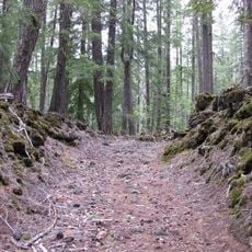
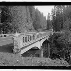
Visitors can explore approximately 190 miles of trails including sections of the Pacific Crest Trail, but must follow Leave No Trace principles and carry topographic maps for safe navigation in this remote wilderness.
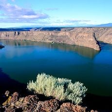
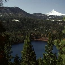
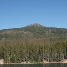
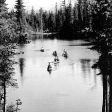
The wilderness contains over 150 small lakes situated mostly between 5,000 and 6,000 feet elevation, formed by ancient glacial activity and filled with trout populations in this high-altitude environment.
The community of curious travelers
AroundUs brings together thousands of curated places, local tips, and hidden gems, enriched daily by 60,000 contributors worldwide.