Clackamas Wilderness, Protected wilderness area in Mount Hood National Forest, Oregon
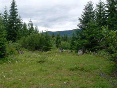
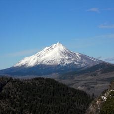
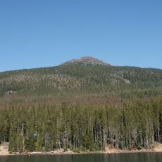
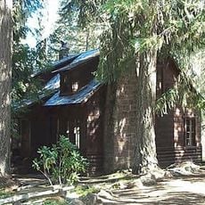
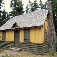
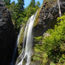
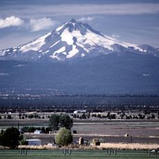
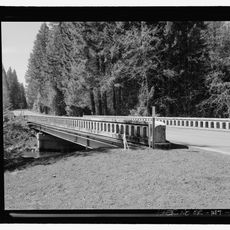
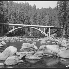
Clackamas Wilderness is a protected forest area in northwestern Oregon that spans several separate sections along the Clackamas River. The land features towering forest canopy, river canyons, and mountain terrain that varies between thick woods and open water views.
Congress designated this area as protected wilderness in 2009, officially ending any future development or logging. This legal protection ensures the forest remains in its natural state for generations to come.
This place takes its name from the Clackamas Indians, who lived in these forests long before European arrival and held strong ties to the land. Their legacy remains present in how locals and visitors relate to the forest as a place of cultural significance.
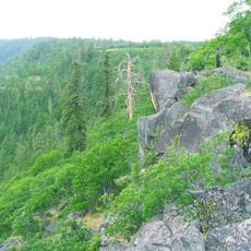
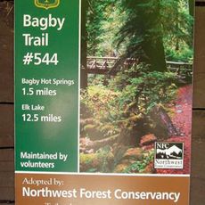
The area features more than 30 miles of marked trails ranging from easy forest walks to challenging mountain routes. Visitors should come prepared for wet conditions and wear sturdy hiking boots, as paths can be slippery especially through forested sections.
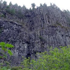
The wilderness contains some of the largest trees in the Pacific Northwest and is divided into five distinct areas: Big Bottom, Memaloose Lake, Clackamas Canyon, Sisi Butte, and South Fork Clackamas. This separation creates surprisingly different landscape types and hiking experiences despite the areas being part of one protected zone.
The community of curious travelers
AroundUs brings together thousands of curated places, local tips, and hidden gems, enriched daily by 60,000 contributors worldwide.