Enable Location

We need your location to show you interesting places around you

Discover nearby places

Find interesting locations and hidden gems around you

Precise directions

Get accurate directions and distances to places

Your location is never shared with other users. It's only used when you tap the location button.

Mount Jefferson

Log in to your account

Start exploring — it's free

Trusted by 61,501 travelers worldwide

Continue with Google
Continue with Apple
or

We will send you a code to connect

By continuing, you accept our Terms and Conditions and our Privacy Policy

Check your inbox

We've sent a pincode in your inbox. Please enter the code below.

Mount Jefferson

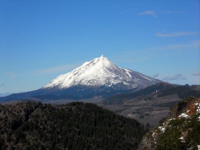
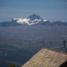
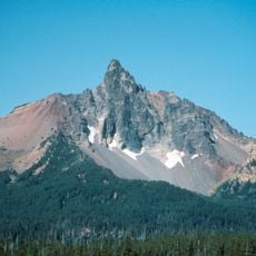
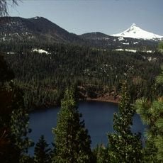
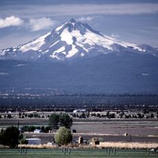
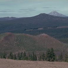
Mount Jefferson, Stratovolcano in Cascade Range, Oregon, US

Description

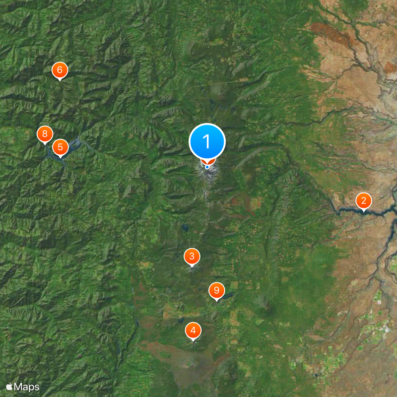
Mount Jefferson rises to an elevation of 10,497 feet, making it the second highest mountain peak in Oregon's Cascade Volcanic Arc formation.

History

The first documented climb to the summit occurred in 1888 by mountaineers R. L. Farmer and E. C. Cross, marking the beginning of recorded ascents.

Culture

The mountain received its name from the Lewis and Clark Expedition in 1806 as a tribute to President Thomas Jefferson of the United States.

Practical

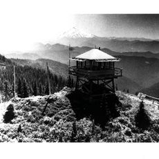
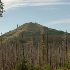
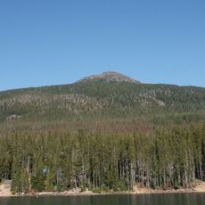
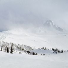
Access requires hiking from trailheads on the western slopes, with most routes involving several hours of walking through forested terrain before reaching alpine zones. Conditions vary throughout the year, and snow often lingers into summer months on higher elevations.

Did you know?

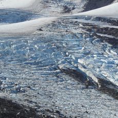
At least 35 smaller vents scatter across the terrain within 15 kilometers of the main cone, revealing a long history of volcanic activity. These secondary openings contributed material over thousands of years, shaping the landscape visible today.

Location
Location
Elevation above the sea
3,199 m
Made from material
andesite
GPS coordinates
44.67433,-121.79959
Latest update
December 19, 2025 22:32

AroundUs brings together thousands of curated places, local tips, and hidden gems, enriched daily by 60,000 contributors worldwide. Discover all places nearby (Linn County).

Around this place
Show the full map
« Mount Jefferson - Stratovolcano in Cascade Range, Oregon, US » is provided by Around Us (aroundus.com). Images and texts are derived from Wikimedia project under a Creative Commons license. You are allowed to copy, distribute, and modify copies of this page, under the conditions set by the license, as long as this note is clearly visible.

Discover hidden gems everywhere you go!

From secret cafés to breathtaking viewpoints, skip the crowded tourist spots and find places that match your style. Our app makes it easy with voice search, smart filtering, route optimization, and insider tips from travelers worldwide. Download now for the complete mobile experience.

Around Us App Screenshot

A unique approach to discovering new places

Le Figaro

All the places worth exploring

France Info

A tailor-made excursion in just a few clicks

20 Minutes

Around Us
Travel Guide & Maps
Download

Send to your phone

QR Code
1

Open the camera app on your mobile.

2

Point at the QR code with your camera. A notification will appear.

3

Tap the notification to open the link.