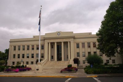
Linn County, Administrative division in Oregon, United States.
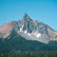
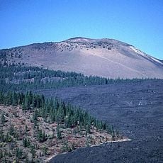
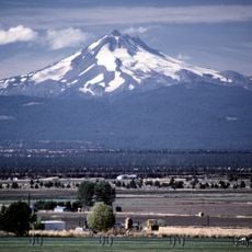
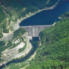
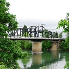
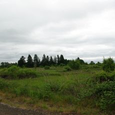
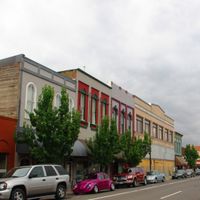
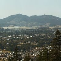
Linn County is an administrative region in western Oregon connecting valleys, mountain terrain, and forests with Albany serving as its governmental center. The area integrates diverse landscapes, from flat farmland to forested ridges and water systems.
The region was established in 1847 and named after United States Senator Lewis F. Linn from Missouri, who championed westward settlement policies. This naming reflected early connections between eastern political influence and western expansion.
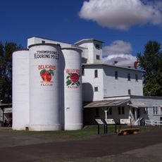
Weekly farmers markets and seasonal agricultural fairs throughout the region let visitors buy directly from growers and experience rural life firsthand. These gatherings reveal how farming and community connection shape the character of this place.
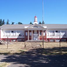
Residents and visitors can access the county administration's online services for property records, permits, and tax payments from any location. These digital options simplify handling basic administrative tasks without visiting an office in person.
A local housing equity program works through partnerships between community organizations and county departments to address residential challenges. This approach shows how public and private actors collaborate to develop practical solutions together.
The community of curious travelers
AroundUs brings together thousands of curated places, local tips, and hidden gems, enriched daily by 60,000 contributors worldwide.