Hayrick Butte, Volcanic summit in Linn County, Oregon.
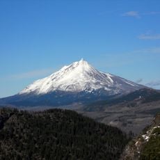
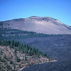
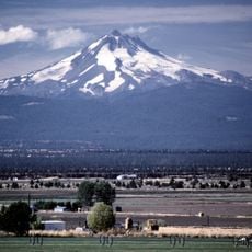
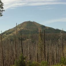
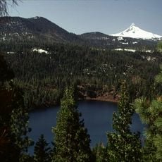
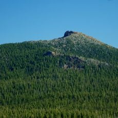
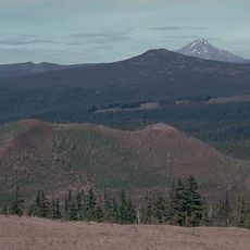
Hayrick Butte is a tuya, a flat-topped andesitic lava dome in Linn County, Oregon, formed by an eruption beneath glacial ice. Its nearly flat plateau spans about 0.5 miles (0.80 km) across, with steep walls rising roughly 700 feet (210 m) above the surrounding terrain. The andesite is porphyritic, containing plagioclase, orthopyroxene and trace olivine phenocrysts.
Hayrick Butte is a late Pleistocene andesitic lava dome and tuya, formed when lava erupted beneath glacial ice; the ice-contact cooling left glassy margins and jointing. Pleistocene glaciation eroded it further, and the butte blocked glacial ice from eroding the summit crater of neighboring Hoodoo Butte.
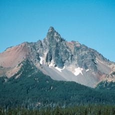
Cartographer Stuart Allen held that an early mapmaker accidentally swapped the names of Hayrick Butte and Hoodoo Butte. "Hoodoo" describes the rock pinnacles seen on Hayrick, while "hayrick", a haystack synonym, fits Hoodoo's profile. Whether the error happened is uncertain, but the names persist.
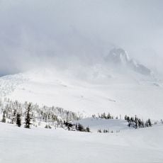
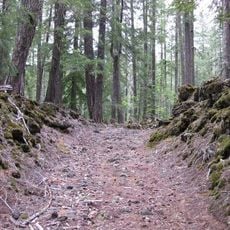
Hayrick Butte can be climbed, and hiking, snowshoeing and snowmobile routes surround it; the Obsidian Climb School and Eugene Mountain Rescue run climbing classes and field sessions here. Its north-facing slope carries mountain hemlock and mature fir from about 1,550 m, so expect cold, snowy winters and cool summers. The butte stands beside the Hoodoo ski area, and a 1995 Forest Service draft warned that development would require excavating or blasting 15,000–21,000 m³ of soil and rock.
The names of Hayrick Butte and neighbouring Hoodoo Butte were swapped by mistake: "hoodoo" describes rock pinnacles like those on Hayrick, while "hayrick" means haystack, fitting Hoodoo's profile. Cartographer Stuart Allen reported the error, though whether it truly happened is uncertain.
The community of curious travelers
AroundUs brings together thousands of curated places, local tips, and hidden gems, enriched daily by 94,487 contributors worldwide.