Hoodoo Butte, Mountain summit in Linn County, Oregon, United States
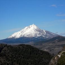
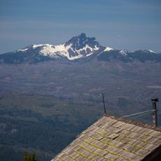
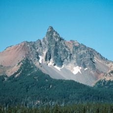
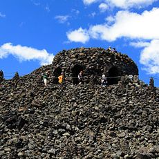
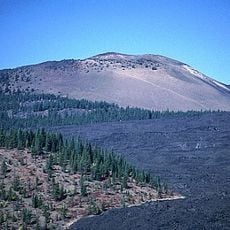
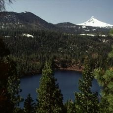
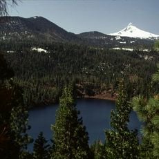
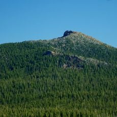
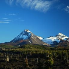
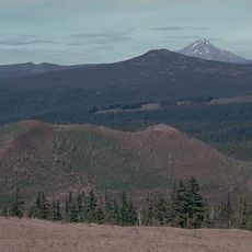
Hoodoo Butte is a mountain in the Cascade Range in northern Oregon with an elevation of about 5,600 feet. The summit rises noticeably above the surrounding plateau in the Santiam Pass area.
The mountain got its name after early cartographers mixed it up with the nearby Hayrick Butte in their maps. A major fire in 1967 significantly altered the vegetation on the eastern and southern slopes.
Local tales mention that early cartographers accidentally switched the names between Hoodoo Butte and the neighboring formation called Hayrick Butte.
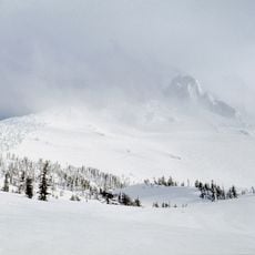
A ski area on the northwest side offers slopes and lifts for winter activities during the colder months. Visitors should be ready for changing weather conditions at higher elevations.
The summit crater stayed intact because the neighbouring andesite lava dome of Hayrick Butte blocked Pleistocene glaciers from reaching it. The crater is open to the east, and volcanic ash washed down from the Sand Mountain Cones forms a layer on its floor. AT&T and Bend Telecommunications own relay sites on top.
The community of curious travelers
AroundUs brings together thousands of curated places, local tips, and hidden gems, enriched daily by 94,347 contributors worldwide.