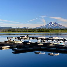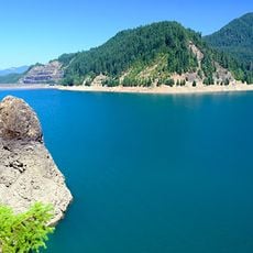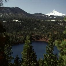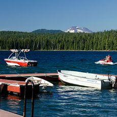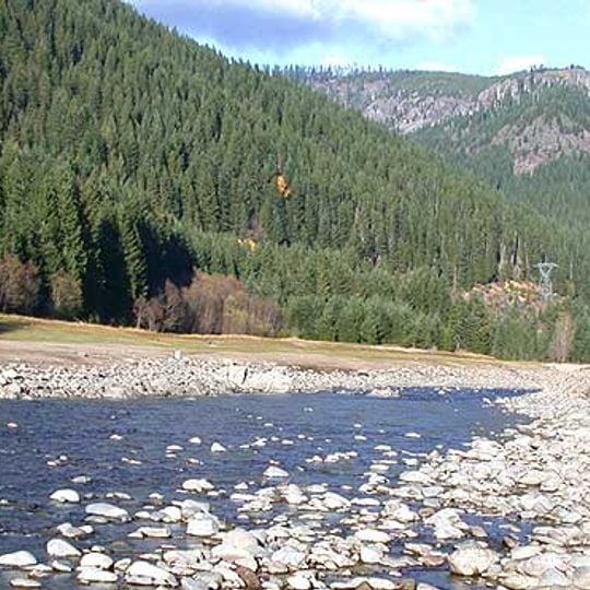
Willamette National Forest, National forest in Cascade Range, Oregon, United States.
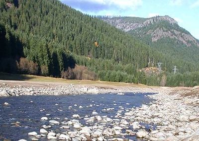
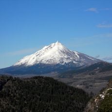
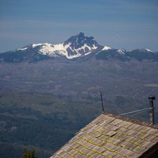
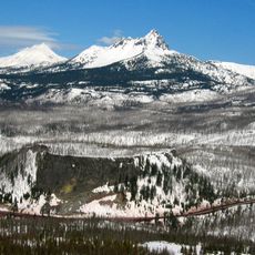
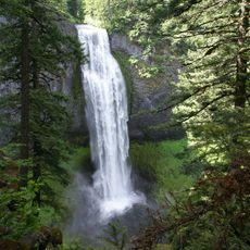
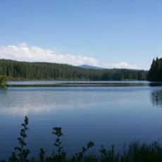
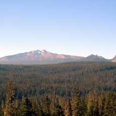
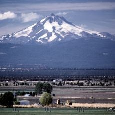
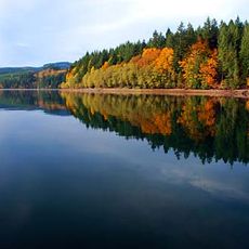
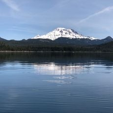
Willamette National Forest covers 1,678,031 acres along the western slopes of the Cascade Range in Oregon, stretching over 100 miles from the Mount Jefferson area east of Salem to Calapooya Ridge. Its conifer-covered hillsides rise above riverbanks, and over 380,000 acres are designated wilderness, including seven major mountain peaks.
In September 1893 President Grover Cleveland proclaimed the Cascade Forest Reserve, stretching from the Columbia River almost to the California border, after local citizens petitioned for protection of the range. In 1908 it was divided, and in 1933 the Santiam and Cascade national forests were combined to form the Willamette National Forest. Early rangers included Addie Morris and Cy Bingham.
The forest's name comes from the Willamette River, whose headwaters rise inside its boundaries. The Pacific Crest Trail crosses the forest, and the Willamette is one of the largest national forests in the United States, drawing hikers, anglers and campers to its rivers and trails.
The forest stretches over 100 miles along the western Cascades, from the Mount Jefferson area east of Salem to the Calapooya Ridge. Headquarters are in Springfield, with ranger district offices in McKenzie Bridge, Detroit, Sweet Home and Westfir. The Pacific Crest Trail crosses the forest. Mountain weather changes fast, so carry maps on quieter routes.
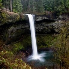
The forest is named for the Willamette River, whose headwaters rise inside its boundaries. It also holds over 380,000 acres of designated wilderness, including seven major mountain peaks, and several National Wild and Scenic Rivers. The Pacific Crest Trail crosses the forest.
The community of curious travelers
AroundUs brings together thousands of curated places, local tips, and hidden gems, enriched daily by 93,762 contributors worldwide.