Bull of the Woods Wilderness, Protected wilderness area in Mount Hood National Forest, Oregon.
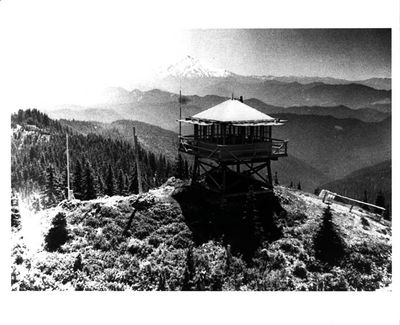
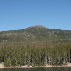
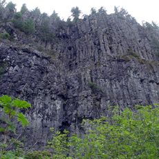
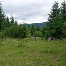
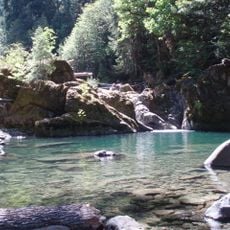
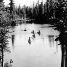
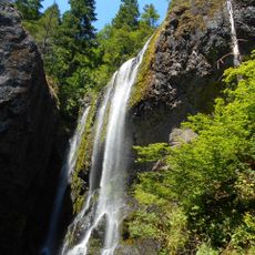
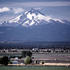
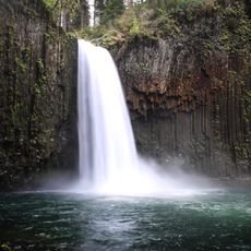
Bull of the Woods Wilderness is a protected forest area in Mount Hood National Forest comprising over 37,000 acres of dense woodland with multiple lakes and streams. The terrain features steep mountainsides and peaks reaching nearly 5,500 feet, interspersed with old-growth stands and flowing water systems.
Congress designated this territory in 1984 as part of the National Wilderness Preservation System, establishing legal protection for its natural state. This designation marked official recognition of its importance for preserving untouched forest landscapes.
The name comes from logging tradition, where 'bull of the woods' referred to the most experienced forest foreman directing work crews. This historical term remains rooted in how the area and its heritage are understood today.
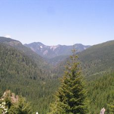
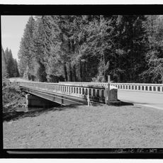
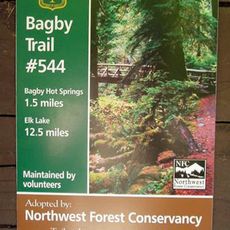
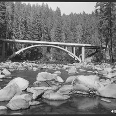
The area is accessed through seven main entry trails, with additional internal paths totaling approximately 75 miles of hiking and riding routes. Visitors should prepare for changing weather and mountainous terrain, especially when traveling into steeper sections and higher elevations.
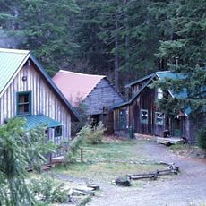
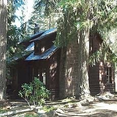
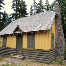
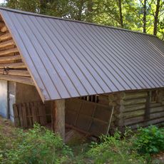
Abandoned mining sites from the 19th-century gold rush remain scattered throughout the area, with old equipment and structures marking past extraction activities. These hidden remnants reveal that the land experienced intense industrial use before becoming protected wilderness.
The community of curious travelers
AroundUs brings together thousands of curated places, local tips, and hidden gems, enriched daily by 60,000 contributors worldwide.