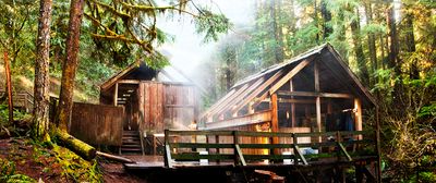
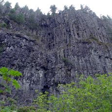
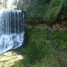
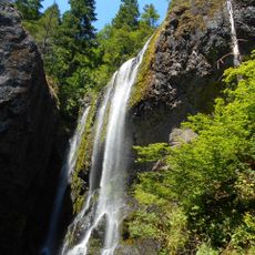
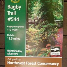
Bagby Hot Springs, Natural hot springs in Mount Hood National Forest, Oregon
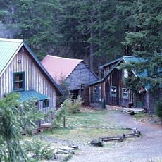
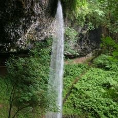
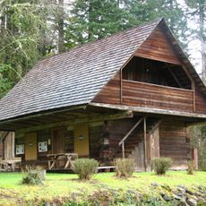
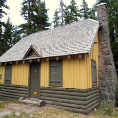
Bagby Hot Springs is a geothermal site in Oregon, surrounded by Douglas firs within the Mount Hood National Forest. The mineral water emerges directly from the ground and flows into handcrafted tubs made of cedar logs, housed in three separate bathhouses built with rustic boards and timber.
Robert Bagby came across these springs in 1880 while hunting in the Cascade range, and they were later named after him. Local residents built simple wooden structures over the following decades, which were destroyed and rebuilt several times by fire and storms.
Visitors fill and drain the cedar tubs by hand, using wooden buckets and gravity-fed pipes without modern pumps. This tradition keeps the experience simple and quiet, letting bathers control their own water mix while listening to the forest around them.
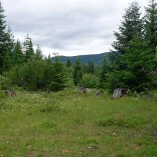
A trail of roughly 2.3 kilometers connects the parking area to the bathhouses through the forest. Since the tubs are used one group at a time, expect waits on weekends and holidays, especially in the afternoon.
The spring water emerges from the rock at around 57 degrees Celsius and must be blended with cold creek water to reach a comfortable bathing temperature. Each tub has its own wooden plug that bathers close after soaking, so the hot water does not flow out uncontrolled.
The community of curious travelers
AroundUs brings together thousands of curated places, local tips, and hidden gems, enriched daily by 60,000 contributors worldwide.