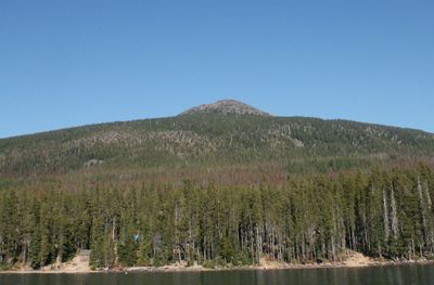
Olallie Butte, Steep shield volcano in Marion County, Oregon
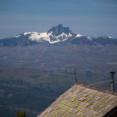
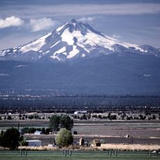
Olallie Butte is a steep volcano in Marion County, Oregon, rising to 7,219 feet in elevation. It stands as the largest volcanic formation between Mount Hood and Mount Jefferson in the Cascade Range.
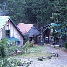
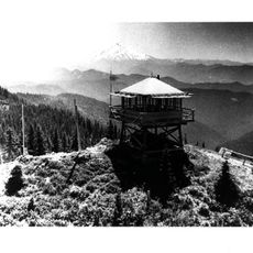
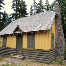
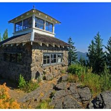
A fire lookout tower was built on the summit in 1915 and remained in use until 1967. This tower was part of the region's fire monitoring system during the peak years of forest protection.
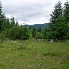
The name comes from Chinook Jargon and refers to the berry plants that thrive in this region. Visitors can still see these plants flourishing across the surrounding slopes.
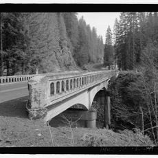
The area is best visited from June to October when hiking conditions are favorable. The Pacific Crest Trail runs along the western side and offers several access points for visitors.
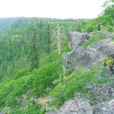
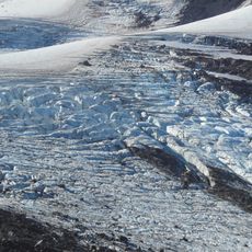
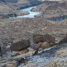
The formation displays a transitional shape between steep basalt volcanoes and flatter shield-type structures. Distinct glacial markings are visible on the northeastern slope, recording the area's glacial past.
The community of curious travelers
AroundUs brings together thousands of curated places, local tips, and hidden gems, enriched daily by 60,000 contributors worldwide.