Silver Falls State Park, State park in Marion County, Oregon, US
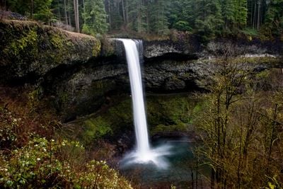
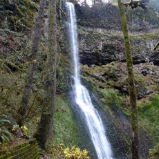
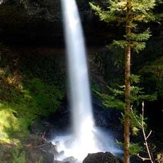
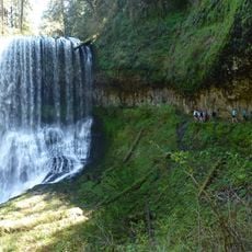
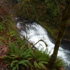
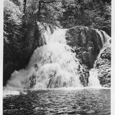
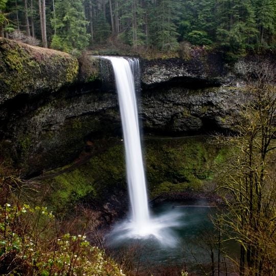
Silver Falls State Park is a nature reserve in Marion County, Oregon, covering around 3,600 hectares (9,000 acres) with a loop trail that passes ten waterfalls. The tallest waterfall drops 54 meters (177 feet), and several paths run behind the cascades through carved rock alcoves.
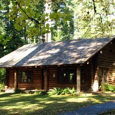
Silver Falls City, a small lumber town, formed in 1888 atop South Falls, and the surrounding area was heavily logged. In 1902 June D. Drake, a commercial photographer and owner of the Drake Brothers Studio in Silverton, began campaigning for park status with his photographs of the falls; Drake Falls is named for him. A 1926 National Park Service inspection rejected the area because of stumps left by logging. In 1935 President Franklin D. Roosevelt announced it would become a Recreational Demonstration Area, and Civilian Conservation Corps crews built park facilities, including South Falls Lodge in the late 1930s.
Trails and structures throughout the reserve were built in the 1930s by work crews during the economic depression. The timber lodge at South Falls still serves as a meeting place and reflects the architectural style of that era.
The main trail runs through dense forest and wet terrain, so sturdy footwear and weatherproof clothing are advisable. Campsites offer spots for tents and recreational vehicles, and the park also includes horse trails and several picnic areas.
The park's highest waterfall is not South Falls but remote Double Falls, which drops 178 feet (54 m) in a small tributary side canyon deep within Silver Creek Canyon. South Falls, at 177 feet (54 m), is the most visited cascade in the park.
The community of curious travelers
AroundUs brings together thousands of curated places, local tips, and hidden gems, enriched daily by 94,112 contributors worldwide.