Tom Dick and Harry Mountain, Mountain summit in Clackamas County, Oregon, United States
Tom Dick and Harry Mountain is a summit in Mount Hood National Forest in Clackamas County featuring three distinct peaks at approximately 5,070 feet elevation. The formation stretches across several kilometers and sits between the Zigzag River and Still Creek south of Zigzag Mountain.
The name originated with Elijah Coalman in 1897 and was later formally recognized. The Board on Geographic Names officially adopted the designation 'Harry' as part of the mountain's name in 1969.
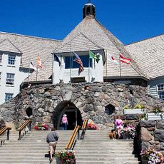
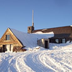
The mountain is part of Mount Hood Skibowl ski resort and draws winter sports enthusiasts who use the snowy slopes. Visitors can experience the activity and energy of a popular winter recreation area here.
Access to the summit is via the Mirror Lake Trail, a hike of about 7.7 miles round trip with significant elevation gain. A forest pass is required, and the best time to visit is summer through early fall when snow has melted.
The mountain is composed of layers of Pliocene andesite and basalt, revealing its volcanic origins. This geological makeup makes it interesting for hikers curious about the natural history underlying the region's landscape.
The community of curious travelers
AroundUs brings together thousands of curated places, local tips, and hidden gems, enriched daily by 60,000 contributors worldwide.