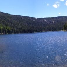
Zigzag Mountain, Mountain summit in Mount Hood National Forest, Oregon, United States
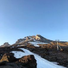
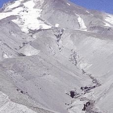
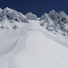
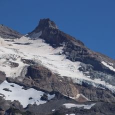
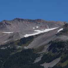
Zigzag Mountain is a volcanic mountain in Clackamas County, Oregon, rising 7.1 miles west-southwest of Mount Hood and just north of the Zigzag River. Its highest peak exceeds 5,007 feet (1,526 m); a second summit, East Zigzag, reaches 4,973 feet (1,516 m). The mountain is capped by Pliocene andesite and basalt.
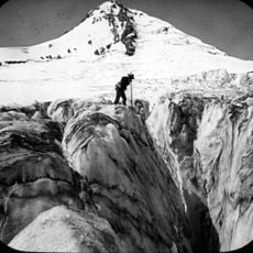
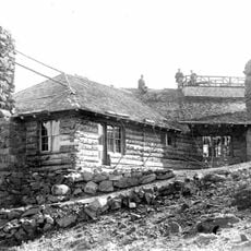
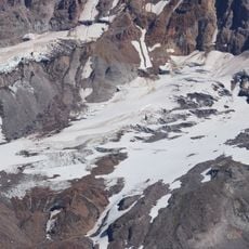
The name comes from Oregon pioneer Joel Palmer's account of the zigzagging route he used to descend from Mount Hood's Zigzag Canyon, where Zigzag Glacier sits, and on down what is now Zigzag Mountain. The mountain is capped by Pliocene andesite and basalt, and its East Zigzag peak held a US Forest Service fire lookout station destroyed before 1970.
The name comes from Oregon pioneer Joel Palmer, who described the zigzagging route he took down from Mount Hood's Zigzag Canyon, where Zigzag Glacier sits, and on down what is now Zigzag Mountain. The mountain's two summits, including East Zigzag, carry that name today.
Access is available year-round with two trailheads: a lower one at around 1,550 feet and an upper access point at around 3,350 feet elevation. Hikers should prepare for uneven terrain and variable weather conditions.
Reaching the true summit requires leaving marked trails and pushing through brush. Devils Meadow, located several kilometers into the hike, offers established camping areas for overnight trips.
The community of curious travelers
AroundUs brings together thousands of curated places, local tips, and hidden gems, enriched daily by 93,773 contributors worldwide.