Mount Hood Wilderness, Protected wilderness area in Mount Hood National Forest, Oregon, United States
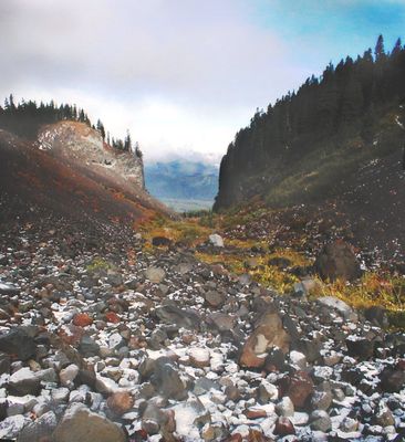
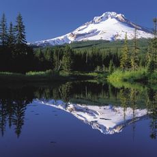
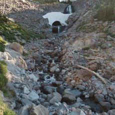
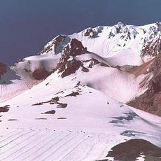
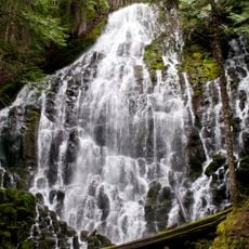
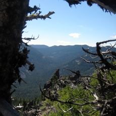
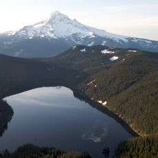
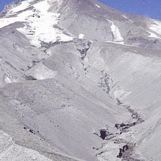
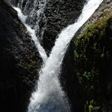
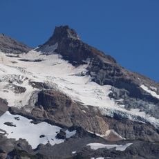
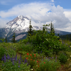
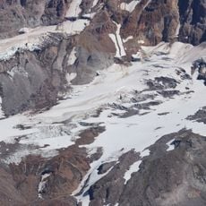
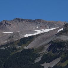
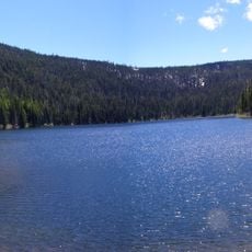
Mount Hood Wilderness is a protected natural area spanning about 63,000 acres in Oregon's Cascade Range, featuring alpine meadows, glacial streams, and dense forests. The landscape includes several glaciers and numerous hiking trails that wind through rocky peaks and mountain valleys.
The area received federal protection in 1964 under the Wilderness Act, which restricted new development and preserved its natural state. This legal designation ensured the mountain landscape would remain largely unchanged for the future.
Native American tribes utilized the Mount Hood region for thousands of years, gathering resources and conducting traditional practices in these mountain landscapes.
Access is available through numerous trails, with overnight camping requiring permits and rules limiting group sizes and campfire use. Visitors should prepare for changing mountain weather and bring adequate water, maps, and proper hiking gear.
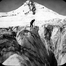
The area contains an extensive ice cave network within Sandy Glacier, featuring passages of significant size beneath the frozen surface. These underground formations rank among the largest in the contiguous United States and represent a rare geological feature.
The community of curious travelers
AroundUs brings together thousands of curated places, local tips, and hidden gems, enriched daily by 60,000 contributors worldwide.