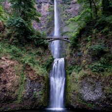
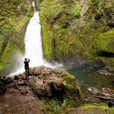
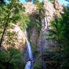
Punch Bowl Falls, Waterfall in Columbia River Gorge, Oregon, United States.
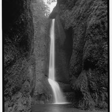
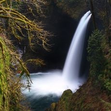
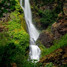
Punch Bowl Falls cascades 35 feet down a narrow rock passage into a distinctive circular basin that resembles a large punch bowl, creating a powerful and concentrated water display surrounded by moss-covered basalt formations.
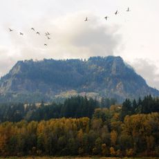
The waterfall gained recognition as part of the Columbia River Gorge National Scenic Area, while remnants of a wooden staircase and concrete fish ladder upstream reflect historical efforts to manage salmon migration through Eagle Creek.
This waterfall attracts thousands of photographers and nature enthusiasts annually who come to capture its distinctive bowl-shaped cascade, making it a celebrated subject in Pacific Northwest outdoor recreation and nature photography circles.
Visitors can reach the falls via a 4.7-mile round-trip hike from Eagle Creek trailhead, though recent landslides require careful creek crossings and the trail includes cliff-edge sections with safety cables for handrails.
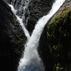
The 2017 landslide altered the stream flow between Punch Bowl Falls and Lower Punch Bowl Falls, creating new geological formations while the waterfall maintains its powerful jet of water shooting directly into the circular stone basin below.
The community of curious travelers
AroundUs brings together thousands of curated places, local tips, and hidden gems, enriched daily by 60,000 contributors worldwide.