Table Mountain, Mountain summit in Skamania County, United States.
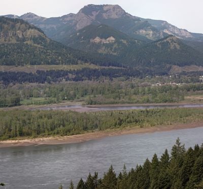
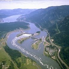
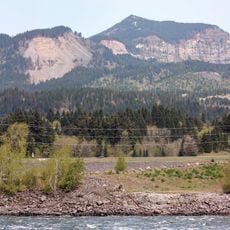
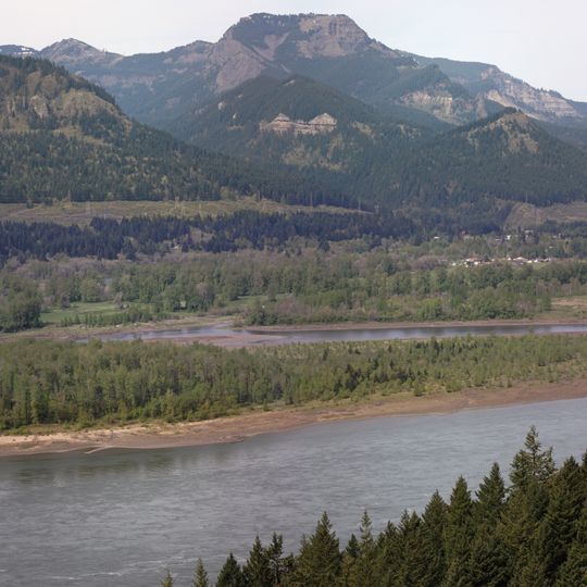
Table Mountain is a peak on the north side of the Columbia River, about 4 miles (6.4 km) north-northwest of Bonneville Dam. Its southeast face drops 2,400 feet (730 m) in less than one horizontal mile, topped by an almost vertical 800-foot (240 m) cliff. The broad, rounded summit is grey rock with scattered green trees, while dense dark green forest covers the lower slopes; two rocky outcrops protrude from the tree line on the right shoulder.
Between 1425 and 1450 AD, the south side of Table Mountain sheared off and dammed the Columbia River in the Bonneville Slide. The river soon carved a new bend to the south, and for a time Native Americans could walk across, which led to the legend of the Bridge of the Gods.
Local hiking communities regularly organize group expeditions to Table Mountain, maintaining traditional outdoor recreational practices in Washington state.
Table Mountain stands about 4 miles north-northwest of Bonneville Dam on the north bank of the Columbia River, reached from the Washington side of the gorge. Its southeast face drops 2,400 feet in under a horizontal mile, topped by an almost vertical 800-foot cliff, so the upper ground is exposed rock rather than a wooded trail. Plan for steep, open going near the top.
Between 1425 and 1450 AD the south side of Table Mountain sheared off and dammed the Columbia River in the Bonneville Slide. The river soon carved a new bend to the south, and for a time Native Americans could walk across, which gave rise to the Bridge of the Gods legend.
The community of curious travelers
AroundUs brings together thousands of curated places, local tips, and hidden gems, enriched daily by 94,501 contributors worldwide.