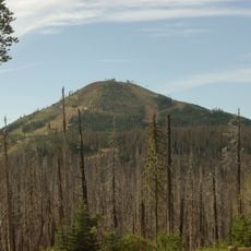
Black Butte, mountain in United States of America
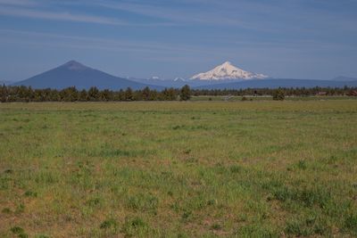
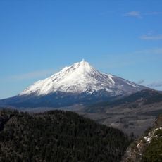
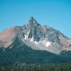
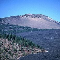
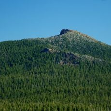
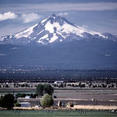
Black Butte is a cinder cone volcano in Oregon that rises approximately 6,600 feet (2,000 meters) above the surrounding terrain. Its dark, barren surface of volcanic rock stands out distinctly against the forested slopes of the surrounding Cascade range.
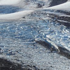
Black Butte formed roughly 4,000 years ago through volcanic activity, making it one of the younger geological features in the Cascades region. Its creation reflects a time when volcanic processes were still shaping this part of Oregon.
Visitors can hike this mountain via a well-marked trail that takes roughly two to three hours round trip. The path becomes steeper as you approach the summit, so sturdy footwear and steady endurance are needed.
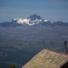
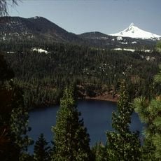
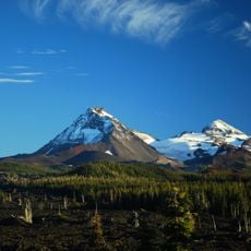
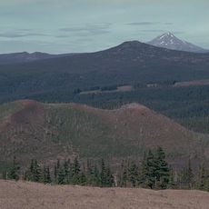
From the summit on clear days, you can see Mount Shasta in California roughly 100 miles (160 kilometers) away. This long view showcases the expansive sight line across the Cascade landscape.
The community of curious travelers
AroundUs brings together thousands of curated places, local tips, and hidden gems, enriched daily by 60,000 contributors worldwide.