Lane County

Log in to your account

AroundUs is a community-driven map of interesting places, built by curious explorers like you. It grows with every review, story, and photo you share.
Connect to save your favorite spots, contribute locations, and create personalized routes.
By continuing, you accept our Terms and Conditions and our Privacy Policy
Add to collection
Map
Suggest a change
Share

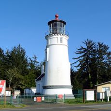
Lane County, Administrative division in western Oregon, United States.

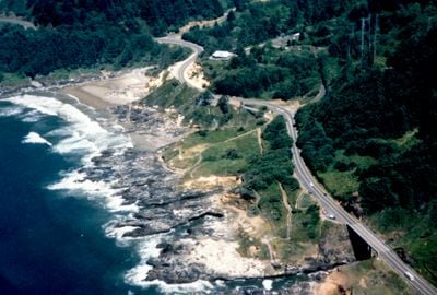
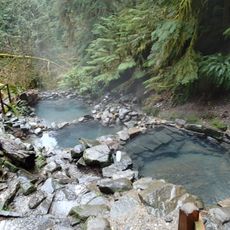
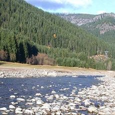
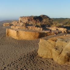
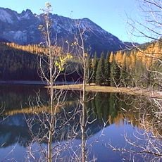
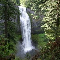
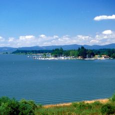
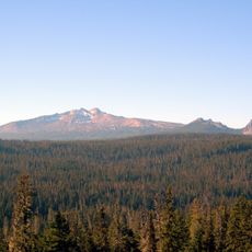
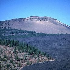
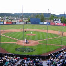
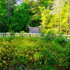
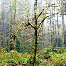
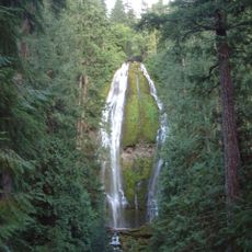
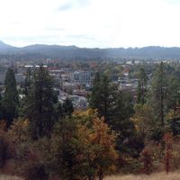
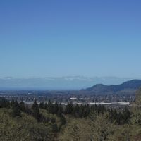
Lane County is an administrative division in western Oregon that stretches from the Cascade Mountains to the Pacific Ocean. The area encompasses varied terrain including waterways, forests, and coastal regions that support diverse communities.

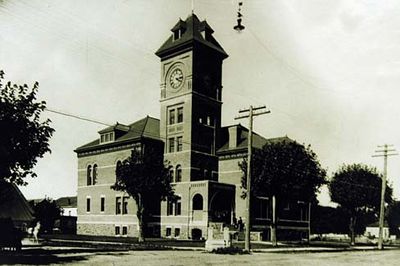
The county was established in the 19th century as a governing unit for the region. Over time it developed from a pioneer area into a modern administrative center with multiple service departments.

The Sheriff's Office maintains strong community connections through programs like citizen ride-alongs and public information sharing initiatives.

Visitors can access various services through specialized departments handling property matters, building permits, and land use inquiries. It is helpful to contact the relevant offices in advance to clarify what information or procedures you may need.

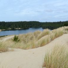
The county operates specialized patrols for the Oregon Dunes, utilizing funding from state parks and federal sources for recreation area management.

Location: Oregon

Inception: 1851

Capital city: Eugene

Shares border with: Lincoln County, Benton County, Linn County, Deschutes County, Klamath County, Douglas County

Website: https://lanecounty.org

GPS coordinates: 43.95000,-122.88000

Latest update: December 6, 2025 21:26

Photos
Around this place
Show the full map
Autzen Stadium
United States of America

Autzen Stadium

19.3 km
Hayward Field
United States of America

Hayward Field

18.4 km
Oregon Dunes National Recreation Area
United States of America

Oregon Dunes National Recreation Area

107.1 km
Cascades Raptor Center
United States of America

Cascades Raptor Center

16.6 km
Cougar Hot Springs
United States of America

Cougar Hot Springs

53.3 km
Willamette National Forest
United States of America

Willamette National Forest

71.8 km
Heceta Head Light
United States of America

Heceta Head Light

102 km
Siuslaw National Forest
United States of America

Siuslaw National Forest

79.9 km
McArthur Court
United States of America

McArthur Court

18.6 km
Salt Creek Falls
United States of America

Salt Creek Falls

71.2 km
Jessie M. Honeyman Memorial State Park
United States of America

Jessie M. Honeyman Memorial State Park

98.4 km
Devils Churn
United States of America

Devils Churn

105.2 km
Fern Ridge Reservoir
United States of America

Fern Ridge Reservoir

38.5 km
Diamond Peak
United States of America

Diamond Peak

75.7 km
Dee Wright Observatory
United States of America

Dee Wright Observatory

92.9 km
Hult Center for the Performing Arts
United States of America

Hult Center for the Performing Arts

20.5 km
Belknap Crater
United States of America

Belknap Crater

90.9 km
Pre's Trail
United States of America

Pre's Trail

18.6 km
Jordan Schnitzer Museum of Art
United States of America

Jordan Schnitzer Museum of Art

18.9 km
Civic Stadium
United States of America

Civic Stadium

19.5 km
Darlingtonia State Natural Site
United States of America

Darlingtonia State Natural Site

98 km
Shelton McMurphey Johnson House
United States of America

Shelton McMurphey Johnson House

20.7 km
Umpqua River Light
United States of America

Umpqua River Light

110.6 km
Elliott State Forest
United States of America

Elliott State Forest

100.1 km
Proxy Falls
United States of America

Proxy Falls

79.8 km
Jane Sanders Stadium
United States of America

Jane Sanders Stadium

18.5 km
Dexter Reservoir
United States of America

Dexter Reservoir

6.6 km
Cougar Reservoir
United States of America

Cougar Reservoir

54.6 km
Show the full map
Reviews

Visited this place? Tap the stars to rate it and share your experience / photos with the community! Try now! You can cancel it anytime.

Administrative divisions
« Lane County - Administrative division in western Oregon, United States » is provided by Around Us (aroundus.com). Images and texts are derived from Wikimedia project under a Creative Commons license. You are allowed to copy, distribute, and modify copies of this page, under the conditions set by the license, as long as this note is clearly visible.

Discover hidden gems everywhere you go!

From secret cafés to breathtaking viewpoints, skip the crowded tourist spots and find places that match your style. Our app makes it easy with voice search, smart filtering, route optimization, and insider tips from travelers worldwide. Download now for the complete mobile experience.

Around Us App Screenshot

A unique approach to discovering new places

Le Figaro

All the places worth exploring

France Info

A tailor-made excursion in just a few clicks

20 Minutes