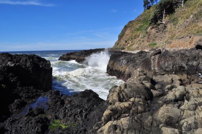
Devils Churn, Natural inlet in Lincoln County, Oregon, United States.
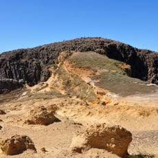
Devils Churn is a narrow rocky fissure along the Oregon coast where the Pacific Ocean water flows through a tight passage into a deep volcanic rock chamber. The opening spans approximately 80 feet (24 meters) wide and extends deep into the clifside.
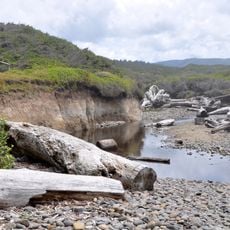
This fissure formed over thousands of years through constant wave action, beginning as a sea cave before its roof collapsed from natural erosion. The opening gradually deepened as the ocean continued to break down the volcanic rock.
The name reflects the violent force of water meeting rock at this coastal site. Visitors can observe how the ocean continuously shapes the stone here, creating an intense display of natural power.
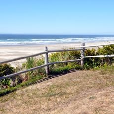
Visitors reach this site by hiking the Restless Waters Trail through the surrounding forest landscape. The area lies within Siuslaw National Forest, and certain facilities or access may require appropriate permits or passes from the Forest Service.
At high tide, ocean waves create dramatic water sprays at the narrow end of the fissure that shoot high into the air. These geysers of seawater form when the ocean forces water into the confined space with such pressure that it explosively erupts outward.
The community of curious travelers
AroundUs brings together thousands of curated places, local tips, and hidden gems, enriched daily by 60,000 contributors worldwide.