Lincoln County

Log in to your account

AroundUs is a community-driven map of interesting places, built by curious explorers like you. It grows with every review, story, and photo you share.
Connect to save your favorite spots, contribute locations, and create personalized routes.
By continuing, you accept our Terms and Conditions and our Privacy Policy
Add to collection
Map
Suggest a change
Share

Lincoln County, Administrative division in Oregon, United States

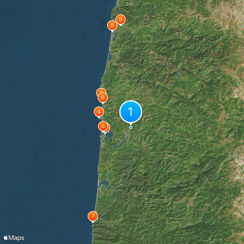
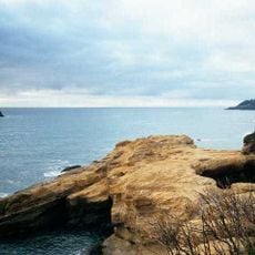
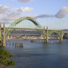
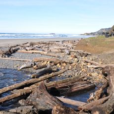
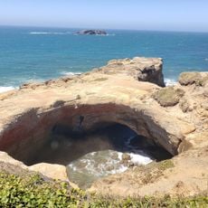
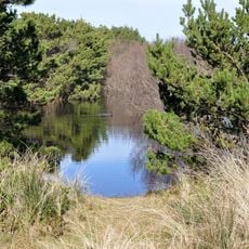
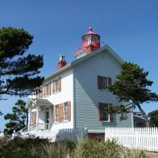
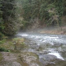
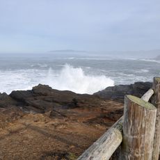
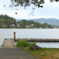
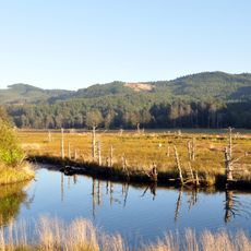
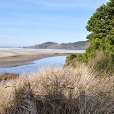
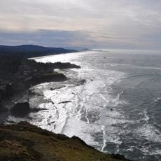
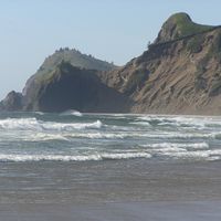
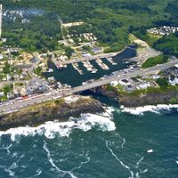
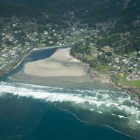
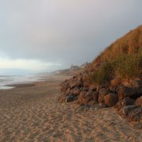
Lincoln County is an administrative division along Oregon's central coast between Newport and Yachats. The territory combines coastal cliffs, forest lands, and river valleys with scattered towns and rural areas.

The county was established in 1893 and named after President Abraham Lincoln. This creation occurred during Oregon's territorial reorganization in the late 1800s.

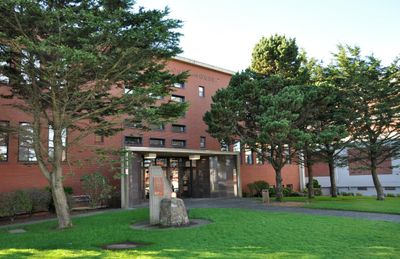
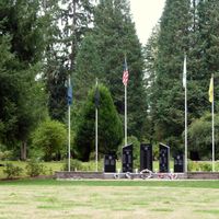
The county's name honors President Abraham Lincoln and shapes local community identity in visible ways. This historical connection appears through monuments and place names scattered throughout the region.

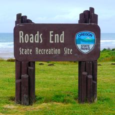
Visitors can find information centers in Newport and other towns providing details about local services. Summer months tend to offer better weather for outdoor activities throughout the region.

The region partners with local fire departments to keep sandbags ready when heavy rains or flooding threaten. This emergency system shows how the community prepares for common weather events.

Location: Oregon

Inception: 1893

Capital city: Newport

Shares border with: Tillamook County, Polk County, Benton County, Lane County

Website: https://co.lincoln.or.us

GPS coordinates: 44.64000,-123.91000

Latest update: December 14, 2025 21:57

Photos
Around this place
Devils Punch Bowl State Natural Area
United States of America

Devils Punch Bowl State Natural Area

17.2 km
Oregon Coast Aquarium
United States of America

Oregon Coast Aquarium

11.1 km
Yaquina Head Light
United States of America

Yaquina Head Light

14 km
Yaquina Bay Bridge
United States of America

Yaquina Bay Bridge

11.8 km
Beverly Beach State Park
United States of America

Beverly Beach State Park

15.4 km
Devils Churn
United States of America

Devils Churn

42.7 km
Chinook Winds Casino
United States of America

Chinook Winds Casino

40.6 km
Pixieland
United States of America

Pixieland

42.6 km
Whale Watching Center
United States of America

Whale Watching Center

22.4 km
Devils Punchbowl State Natural Area
United States of America

Devils Punchbowl State Natural Area

17 km
South Beach State Park
United States of America

South Beach State Park

12.8 km
Drift Creek Falls
United States of America

Drift Creek Falls

33 km
Yaquina Bay Light
United States of America

Yaquina Bay Light

12.2 km
H. B. Van Duzer Forest State Scenic Corridor
United States of America

H. B. Van Duzer Forest State Scenic Corridor

45.8 km
Alsea Bay Bridge
United States of America

Alsea Bay Bridge

26.4 km
Drift Creek Wilderness
United States of America

Drift Creek Wilderness

19.7 km
Boiler Bay State Scenic Viewpoint
United States of America

Boiler Bay State Scenic Viewpoint

24.2 km
Cleft of the Rock Light
United States of America

Cleft of the Rock Light

42.1 km
Devil's Lake State Recreation Area
United States of America

Devil's Lake State Recreation Area

37.7 km
Siletz Bay National Wildlife Refuge
United States of America

Siletz Bay National Wildlife Refuge

30.6 km
Agate Beach State Recreation Site
United States of America

Agate Beach State Recreation Site

11.9 km
D River State Recreation Site
United States of America

D River State Recreation Site

37.4 km
Driftwood Beach State Recreation Site
United States of America

Driftwood Beach State Recreation Site

23.8 km
Devil's Punchbowl
United States of America

Devil's Punchbowl

17.1 km
Beachside State Recreation Site
United States of America

Beachside State Recreation Site

32.1 km
Yaquina Bay State Recreation Site
United States of America

Yaquina Bay State Recreation Site

12.2 km
Otter Crest State Scenic Viewpoint
United States of America

Otter Crest State Scenic Viewpoint

18.2 km
Roads End State Recreation Site
United States of America

Roads End State Recreation Site

41.7 km
Show the full map
Reviews

Visited this place? Tap the stars to rate it and share your experience / photos with the community! Try now! You can cancel it anytime.

« Lincoln County - Administrative division in Oregon, United States » is provided by Around Us (aroundus.com). Images and texts are derived from Wikimedia project under a Creative Commons license. You are allowed to copy, distribute, and modify copies of this page, under the conditions set by the license, as long as this note is clearly visible.

Discover hidden gems everywhere you go!

From secret cafés to breathtaking viewpoints, skip the crowded tourist spots and find places that match your style. Our app makes it easy with voice search, smart filtering, route optimization, and insider tips from travelers worldwide. Download now for the complete mobile experience.

Around Us App Screenshot

A unique approach to discovering new places

Le Figaro

All the places worth exploring

France Info

A tailor-made excursion in just a few clicks

20 Minutes