Chest opened
+${chestReward.xp} XP
Explorer
NOUVEAU ×${chestReward.collectible.quantity}
tapez pour fermer

See the monuments around you in AR Open chests in the app

Around Us is built for your phone — point your camera at the streets and discover the monuments and places around you in augmented reality. Around Us is built for your phone — chests unlock when you walk, explore and capture nearby places.

•

Enable Location

We need your location to show you interesting places around you

Discover nearby places

Find interesting locations and hidden gems around you

Precise directions

Get accurate directions and distances to places

Your location is never shared with other users. It's only used when you tap the location button.

Roads End State Recreation Site

Log in to your account

Start exploring — it's free

Trusted by 92,887 travelers worldwide

Continue with Google
Continue with Apple
or

We will send you a code to connect

By continuing, you accept our Terms and Conditions and our Privacy Policy

Check your inbox

We've sent a pincode in your inbox. Please enter the code below.

Roads End State Recreation Site, State recreation area in Lincoln City, Oregon

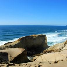
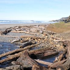
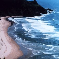
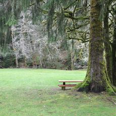
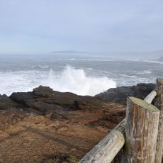
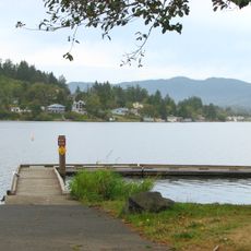
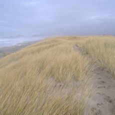
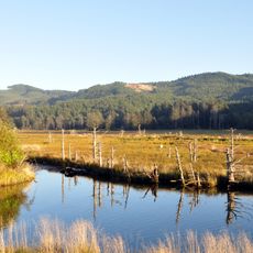
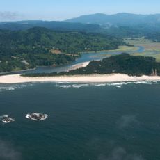
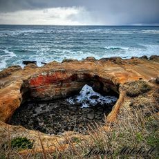
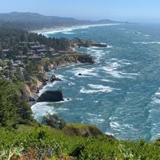
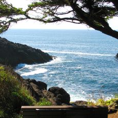
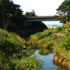
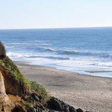
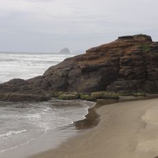
Roads End State Recreation Site is a state park in Lincoln County, Oregon, on the coast about 5.6 km north of Lincoln City and beside Devils Lake. The land lies roughly 10 metres above sea level, with forested hills inland and the Pacific to the west.

The state acquired this shoreline between 1968 and 1971 to establish public beach access in northern Lincoln County. This acquisition opened the area to public enjoyment and exploration.

From October to May, volunteers hide handcrafted glass floats along the beach for visitors to find and keep. The floats are made locally, and each carries a registration number that finders can use to report it. The hunt began in 1999 as a way to draw off-season visitors to Lincoln City's shoreline.

At low tide, you can walk around Roads End Point to explore more beach areas, but you need to monitor tide schedules carefully. Plan to return before the water rises to avoid getting cut off.

Roads End sits at the foot of a hill that rises to 154 metres about 1.2 kilometres to the east, while the land south of the site is flatter. The beach lies beside Devils Lake, and Lincoln City centre is 5.6 kilometres to the north.

The community of curious travelers

AroundUs brings together thousands of curated places, local tips, and hidden gems, enriched daily by 92,887 contributors worldwide.

Start exploring
Location
GPS coordinates
45.00816,-124.00956
Latest update
October 25, 2026 23:58
Around this place
Devils Punch Bowl State Natural Area
United States of America

Devils Punch Bowl State Natural Area

18.3 mi
Cape Kiwanda State Natural Area
United States of America

Cape Kiwanda State Natural Area

15.5 mi
Beverly Beach State Park
United States of America

Beverly Beach State Park

19.4 mi
Cascade Head
United States of America

Cascade Head

20.5 mi
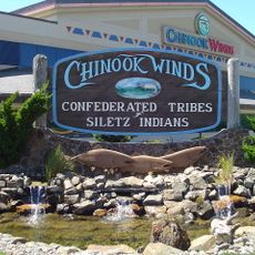
Chinook Winds Casino
United States of America

Chinook Winds Casino

0.7 mi
Devils Punchbowl State Natural Area
United States of America

Devils Punchbowl State Natural Area

18.3 mi
Whale Watching Center
United States of America

Whale Watching Center

13.9 mi
Fort Yamhill
United States of America

Fort Yamhill

21.9 mi
H. B. Van Duzer Forest State Scenic Corridor
United States of America

H. B. Van Duzer Forest State Scenic Corridor

10.4 mi
Boiler Bay State Scenic Viewpoint
United States of America

Boiler Bay State Scenic Viewpoint

12.8 mi
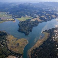
Devil's Lake State Recreation Area
United States of America

Devil's Lake State Recreation Area

2.6 mi
Bob Straub State Park
United States of America

Bob Straub State Park

12.3 mi
Siletz Bay National Wildlife Refuge
United States of America

Siletz Bay National Wildlife Refuge

7.3 mi
Salmon River
United States of America

Salmon River

8.4 mi
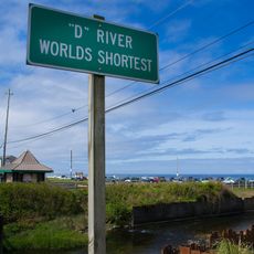
D River State Recreation Site
United States of America

D River State Recreation Site

2.9 mi
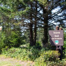
Neskowin Beach State Recreation Site
United States of America

Neskowin Beach State Recreation Site

6.6 mi
Nestucca Bay National Wildlife Refuge
United States of America

Nestucca Bay National Wildlife Refuge

11.8 mi
Devil's Punchbowl
United States of America

Devil's Punchbowl

18.3 mi
Otter Crest State Scenic Viewpoint
United States of America

Otter Crest State Scenic Viewpoint

17.3 mi
Rocky Creek State Scenic Viewpoint
United States of America

Rocky Creek State Scenic Viewpoint

16 mi
Fogarty Creek State Recreation Area
United States of America

Fogarty Creek State Recreation Area

11.6 mi
Gleneden Beach State Recreation Site
United States of America

Gleneden Beach State Recreation Site

9.2 mi
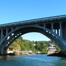
Depoe Bay Bridge
United States of America

Depoe Bay Bridge

13.9 mi
Drift Creek Bridge
United States of America

Drift Creek Bridge

6.1 mi
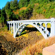
Rocky Creek Bridge
United States of America

Rocky Creek Bridge

16.2 mi
Neskowin Beach
United States of America

Neskowin Beach

6.6 mi
Whale Research EcoExcursions
United States of America

Whale Research EcoExcursions

14 mi
Kiwanda Beach
United States of America

Kiwanda Beach

10.1 mi
Show the full map
Reviews
Share your experience

No review yet

Discussions
Start a discussion...

No discussion yet

« Roads End State Recreation Site - State recreation area in Lincoln City, Oregon » is provided by Around Us (aroundus.com). Images and texts are derived from Wikimedia project under a Creative Commons license. You are allowed to copy, distribute, and modify copies of this page, under the conditions set by the license, as long as this note is clearly visible.

Discover hidden gems everywhere you go!

From secret cafés to breathtaking viewpoints, skip the crowded tourist spots and find places that match your style. Our app makes it easy with voice search, smart filtering, route optimization, and insider tips from travelers worldwide. Download now for the complete mobile experience.
Around Us App Screenshot
❝

A unique approach to discovering new places❞

— Le Figaro

❝

All the places worth exploring❞

— France Info

❝

A tailor-made excursion in just a few clicks❞

— 20 Minutes

Around Us
Travel Guide & Maps
Download

Send to your phone

QR Code
1

Open the camera app on your mobile.

2

Point at the QR code with your camera. A notification will appear.

3

Tap the notification to open the link.