Chest opened
+${chestReward.xp} XP
Explorer
NOUVEAU ×${chestReward.collectible.quantity}
tapez pour fermer

See the monuments around you in AR Open chests in the app

Around Us is built for your phone — point your camera at the streets and discover the monuments and places around you in augmented reality. Around Us is built for your phone — chests unlock when you walk, explore and capture nearby places.

Enable Location

We need your location to show you interesting places around you

Discover nearby places

Find interesting locations and hidden gems around you

Precise directions

Get accurate directions and distances to places

Your location is never shared with other users. It's only used when you tap the location button.

Cascade Head

Log in to your account

Start exploring — it's free

Trusted by 87,269 travelers worldwide

Continue with Google
Continue with Apple
or

We will send you a code to connect

By continuing, you accept our Terms and Conditions and our Privacy Policy

Check your inbox

We've sent a pincode in your inbox. Please enter the code below.

Discussion Reviews 1 Photos
6.9k Popularity

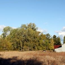
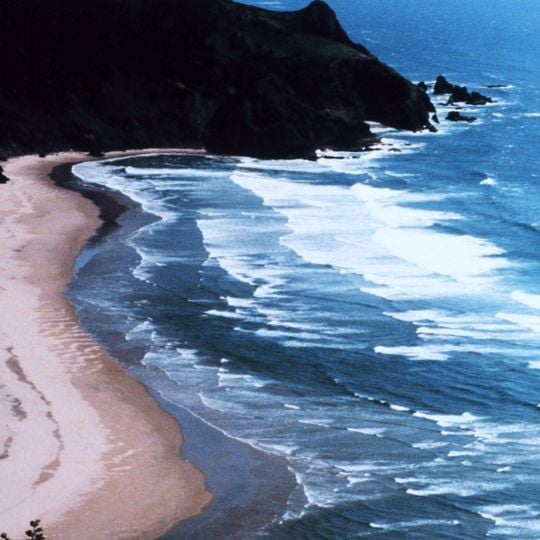
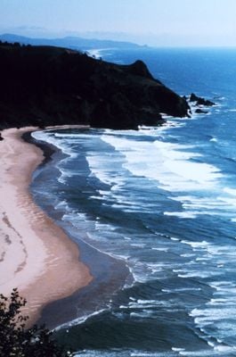
Cascade Head, Protected area and experimental forest near Lincoln City, Oregon, United States.

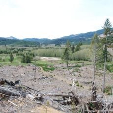
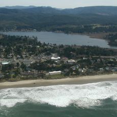
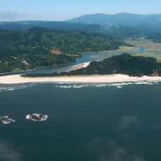
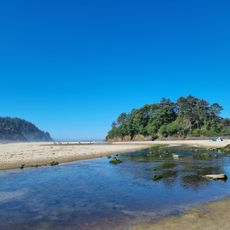
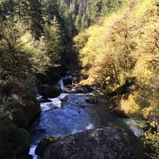
Cascade Head is a protected coastal area and experimental forest with meadows, forests, and cliffs rising above the Pacific Ocean. These different habitats show how natural landscapes develop along this section of Oregon's shoreline.

The Nature Conservancy purchased the land in 1966 with community support to prevent commercial development of the coastal grasslands. Since then, it has served as a research station and protected refuge.

Native American tribes maintained the grasslands through controlled burning practices, which researchers now replicate to preserve native plant species.

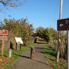
Visitors can explore several walking trails with varying difficulty levels, though some close seasonally. Check local conditions and access rules before planning your visit.

The meadows host a rare butterfly species that depends entirely on a specific wild violet growing here for survival. Researchers actively work to maintain these plants to ensure the butterfly's future.

The community of curious travelers

AroundUs brings together thousands of curated places, local tips, and hidden gems, enriched daily by 60,000 contributors worldwide.
Start exploring
Location
GPS coordinates
45.02000,-123.59000
Latest update
September 17, 2026 00:52
Around this place
Valley of the Giants
United States of America

Valley of the Giants

8.4 mi
Valsetz, Oregon
United States of America

Valsetz, Oregon

13 mi
Devils Lake
United States of America

Devils Lake

19.8 mi
Erratic Rock State Natural Site
United States of America

Erratic Rock State Natural Site

16.8 mi
Drift Creek Falls
United States of America

Drift Creek Falls

14.1 mi
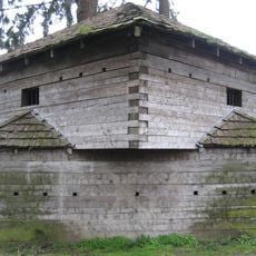
Fort Yamhill
United States of America

Fort Yamhill

3.5 mi
H. B. Van Duzer Forest State Scenic Corridor
United States of America

H. B. Van Duzer Forest State Scenic Corridor

10.5 mi
Salmon River
United States of America

Salmon River

12.1 mi
Neskowin Beach State Recreation Site
United States of America

Neskowin Beach State Recreation Site

20.1 mi
Ellendale
United States of America

Ellendale

13.1 mi
Drift Creek Bridge
United States of America

Drift Creek Bridge

14.6 mi
Sheridan Bridge
United States of America

Sheridan Bridge

11 mi
Riley–Cutler House
United States of America

Riley–Cutler House

18.8 mi
Beulah Methodist Episcopal Church
United States of America

Beulah Methodist Episcopal Church

13.2 mi
United States of America

Chitwood Falls

20.1 mi
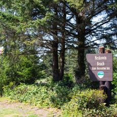
Neskowin Beach
United States of America

Neskowin Beach

20.1 mi
Mill Creek Recreation Site
United States of America

Mill Creek Recreation Site

8.2 mi
Little Nestucca County Boat Launch
United States of America

Little Nestucca County Boat Launch

19.4 mi
United States of America

Dallas Oregon's Historic Train

15 mi
United States of America

Work of art, installation artwork

19.9 mi
United States of America

Installation artwork, Work of art

19.8 mi
United States of America

Rockhouse Cave

9 mi
United States of America

Baskett Slough National Wildlife Refuge observation kiosk

16.4 mi
United States of America

Rich Guadagno Observation Platform

16.5 mi
United States of America

Scenic viewpoint

20.1 mi
United States of America

Scenic viewpoint

3.5 mi
United States of America

Smiley Face Hill

3.7 mi
United States of America

Pheasant Creek Falls

13 mi
Show the full map
Reviews
Share your experience

No review yet

Discussions
Start a discussion...

No discussion yet

« Cascade Head - Protected area and experimental forest near Lincoln City, Oregon, United States » is provided by Around Us (aroundus.com). Images and texts are derived from Wikimedia project under a Creative Commons license. You are allowed to copy, distribute, and modify copies of this page, under the conditions set by the license, as long as this note is clearly visible.

Discover hidden gems everywhere you go!

From secret cafés to breathtaking viewpoints, skip the crowded tourist spots and find places that match your style. Our app makes it easy with voice search, smart filtering, route optimization, and insider tips from travelers worldwide. Download now for the complete mobile experience.

Around Us App Screenshot

A unique approach to discovering new places

Le Figaro

All the places worth exploring

France Info

A tailor-made excursion in just a few clicks

20 Minutes

Around Us
Travel Guide & Maps
Download

Send to your phone

QR Code
1

Open the camera app on your mobile.

2

Point at the QR code with your camera. A notification will appear.

3

Tap the notification to open the link.