Devils Punch Bowl State Natural Area, State natural area in Lincoln County, Oregon.
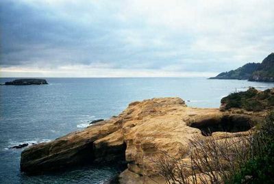
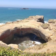
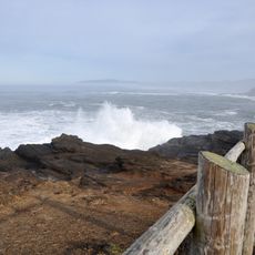
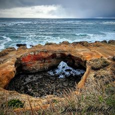
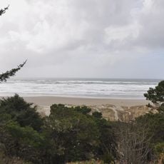
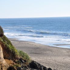
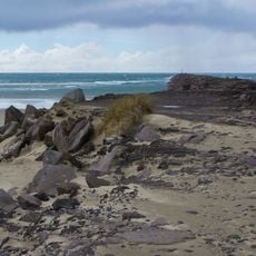
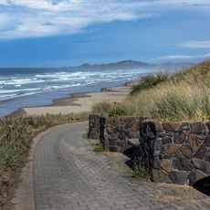
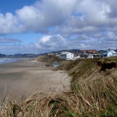
Devils Punch Bowl State Natural Area is a protected coastal formation in Lincoln County, Oregon. Two collapsed sea caves now form a large bowl in the headland, where Pacific tides rush in and surge back out through the narrow opening.
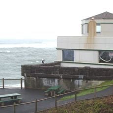
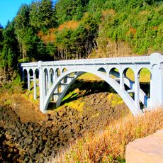
The land was donated by the Leadbetter family in 1929 and expanded over many years until the final parcel was purchased in 1971. During the 1930s, the Civilian Conservation Corps built pathways, restrooms, and picnic facilities along this coastal section.
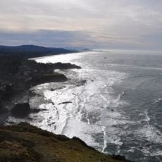
The name refers to the power of the sea carving into the rock, and visitors today still watch waves surge into the bowl. At low tide on the north side, water collects in small pools where starfish, anemones, and crabs appear.
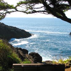
Visitors can view the rock formation from the parking area or walk down a pathway to the north side at low tide, where small tide pools become accessible. Water movement in the bowl is strongest during incoming tides and can be observed safely from the upper rim.
The two former caves collapsed upward through erosion and merged into a single chamber filled from the sea. During strong wave action, water sprays over the upper rim of the opening.
The community of curious travelers
AroundUs brings together thousands of curated places, local tips, and hidden gems, enriched daily by 60,000 contributors worldwide.