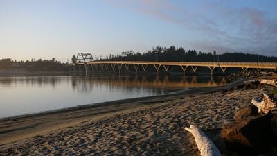
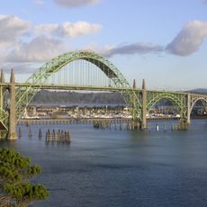
Alsea Bay Bridge, Concrete arch bridge in Waldport, Oregon.
The Alsea Bay Bridge is a concrete arch bridge that spans the bay with a large curved form, connecting two shorelines. The structure uses an arched design to allow water traffic to pass underneath while vehicles travel above on the roadway.
The original structure was built in 1936 and served the area for several decades. It was replaced in 1991 with a newer design that offers improved durability against the challenging coastal environment.
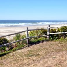
The bridge links two coastal communities and serves as a daily crossing point for residents and travelers moving between them. It shapes the landscape experience of visitors traveling along this stretch of Oregon's Pacific coastline.
The bridge is designed for regular vehicle traffic and allows larger vessels to pass beneath it. Visitors should be aware that strong winds or rough coastal weather can make driving challenging, particularly for larger vehicles.
The structure was specially engineered with reinforced concrete and modified materials to resist corrosion from salt air better than typical bridges. This design choice was necessary because earlier coastal bridges degraded more quickly in harsh ocean conditions.
The community of curious travelers
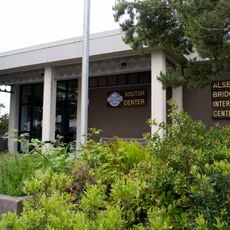
AroundUs brings together thousands of curated places, local tips, and hidden gems, enriched daily by 60,000 contributors worldwide.