Cummins Creek Wilderness, Nature reserve in Oregon Coast Range, United States.
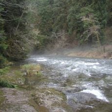
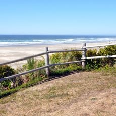
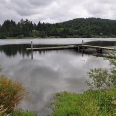
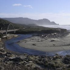
Cummins Creek Wilderness is a protected natural area in the Oregon Coast Range situated between Waldport and Florence. It covers roughly 9000 acres of dense rainforest and two major river systems that flow toward the Pacific.
Congress designated this area in 1984 as one of three protected zones within Siuslaw National Forest. This decision marked official recognition of the ecological importance of this coastal forest region.
The name comes from F.L. Cummins, an early settler who built a homestead in this area. Today visitors walk through a landscape shaped by the presence of those who came before.
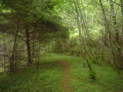
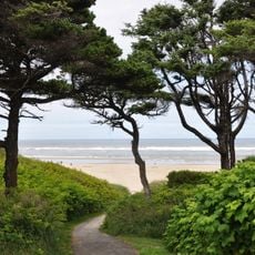
The Cummins Ridge Trail is the only maintained hiking path and runs for about 10 kilometers through the area. Visitors should prepare for slippery ground and wet conditions, especially during the wetter seasons.
The area protects one of the last remaining old-growth Sitka spruce forests in Oregon with trees reaching diameters of about 9 feet (3 meters). These mature forests have become scarce and make this location particularly valuable to nature enthusiasts.
Location: Oregon
Website: http://fs.usda.gov/recarea/siuslaw/recarea/?recid=42389
GPS coordinates: 44.25140,-124.04200
Latest update: December 12, 2025 12:05
Heceta Head Light
14.4 km
Devils Churn
6.6 km
Darlingtonia State Natural Site
23.3 km
Alsea Bay Bridge
20.2 km
Drift Creek Wilderness
25.3 km
Cleft of the Rock Light
7 km
Rock Creek Wilderness
8 km
Carl G. Washburne Memorial State Park
12 km
Cape Creek Bridge
14.6 km
Driftwood Beach State Recreation Site
23.8 km
Heceta Head Lighthouse
14.2 km
Beachside State Recreation Site
15 km
Neptune State Scenic Viewpoint
5.4 km
Alsea Bay Historic Interpretive Center
19.8 km
Yachats State Recreation Area
8.5 km
Muriel O. Ponsler Memorial State Scenic Viewpoint
10.7 km
Smelt Sands State Recreation Site
9.4 km
Yachats Ocean Road State Natural Site
7.9 km
Stonefield Beach State Recreation Site
6.3 km
Tokatee Klootchman State Natural Site
7.6 km
W. B. Nelson State Recreation Site
18.2 km
Big Creek Bridge
10.3 km
Governor Patterson Memorial State Recreation Site
18.4 km
Ten Mile Creek Bridge
6.2 km
North Fork of the Yachats Bridge
8.7 km
Fisher School Bridge
16.6 km
Thor's Well
6.4 km
Cape Perpetua Shelter and Parapet
6.8 kmVisited this place? Tap the stars to rate it and share your experience / photos with the community! Try now! You can cancel it anytime.
Discover hidden gems everywhere you go!
From secret cafés to breathtaking viewpoints, skip the crowded tourist spots and find places that match your style. Our app makes it easy with voice search, smart filtering, route optimization, and insider tips from travelers worldwide. Download now for the complete mobile experience.
A unique approach to discovering new places❞
— Le Figaro
All the places worth exploring❞
— France Info
A tailor-made excursion in just a few clicks❞
— 20 Minutes