Enable Location

We need your location to show you interesting places around you

Discover nearby places

Find interesting locations and hidden gems around you

Precise directions

Get accurate directions and distances to places

Your location is never shared with other users. It's only used when you tap the location button.

Collier Memorial State Park

Log in to your account

Start exploring — it's free

Trusted by 65,439 travelers worldwide

Continue with Google
Continue with Apple
or

We will send you a code to connect

By continuing, you accept our Terms and Conditions and our Privacy Policy

Check your inbox

We've sent a pincode in your inbox. Please enter the code below.

Collier Memorial State Park
Discussion Reviews 1 Photos
3.7k Popularity

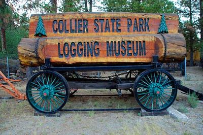
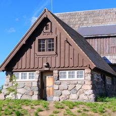
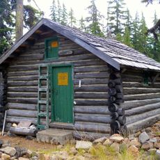
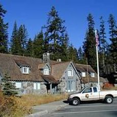
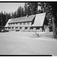
Collier Memorial State Park, Logging museum in Chiloquin, Oregon

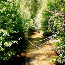
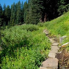
Collier Memorial State Park is an outdoor museum and state park in Chiloquin, Oregon, displaying a large collection of antique logging equipment from the late 19th and early 20th centuries. The exhibits are arranged in an open-air setting along a forested riverside trail that visitors can walk at their own pace.

The park was established in 1945 when Alfred and Andrew Collier donated the land as a memorial to their parents. Before the donation, the property had been actively used for logging operations that were central to Oregon's economy in the early 20th century.

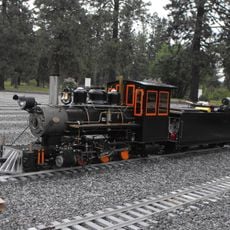
Walking among the old machines, visitors can see how physically demanding forest work gradually gave way to steam and motor power. The collection reflects how deeply logging shaped daily life in this part of southern Oregon.

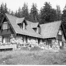
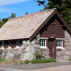
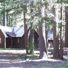
The park has campsites with tables and fire pits, and advance booking is recommended especially in summer. Temperatures can drop noticeably at night, so bringing warm layers is a good idea regardless of the season.

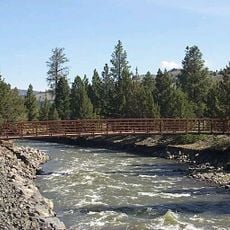
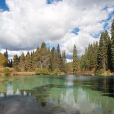
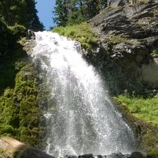
The Williamson River and Spring Creek meet inside the park, making this a well-known spot for trout fishing in southern Oregon. This means visitors can walk from an old steam-powered log hauler directly to a riverbank without leaving the park grounds.

The community of curious travelers

AroundUs brings together thousands of curated places, local tips, and hidden gems, enriched daily by 60,000 contributors worldwide.

Start exploring
Location
GPS coordinates
42.64320,-121.88300
Latest update
March 3, 2026 14:01
Around this place
Mount Mazama
United States of America

Mount Mazama

37.4 km
Crater Lake Lodge
United States of America

Crater Lake Lodge

36.4 km
Train Mountain Railroad
United States of America

Train Mountain Railroad

8 km
Mount Scott
United States of America

Mount Scott

33 km
Fort Klamath
United States of America

Fort Klamath

9.1 km
Fremont-Winema National Forest
United States of America

Fremont-Winema National Forest

26.8 km
Rim Village Historic District
United States of America

Rim Village Historic District

36.5 km
Sky Lakes Wilderness
United States of America

Sky Lakes Wilderness

28.6 km
Sun Pass State Forest
United States of America

Sun Pass State Forest

10.5 km
Jackson F. Kimball State Recreation Site
United States of America

Jackson F. Kimball State Recreation Site

13.2 km
Mountain Lakes Wilderness
United States of America

Mountain Lakes Wilderness

37.2 km
Upper Klamath National Wildlife Refuge
United States of America

Upper Klamath National Wildlife Refuge

19.9 km
Union Peak
United States of America

Union Peak

34.8 km
Fourmile Lake
United States of America

Fourmile Lake

36.3 km
Sinnott Memorial Observation Station
United States of America

Sinnott Memorial Observation Station

36.7 km
Comfort Station No. 72
United States of America

Comfort Station No. 72

36.8 km
Crater Lake Superintendent's Residence
United States of America

Crater Lake Superintendent's Residence

35.4 km
Comfort Station No. 68
United States of America

Comfort Station No. 68

36.8 km
Munson Valley Historic District
United States of America

Munson Valley Historic District

34.9 km
Plaikni Falls
United States of America

Plaikni Falls

32.6 km
Imnaha Guard Station
United States of America

Imnaha Guard Station

37.3 km
Honeymoon Creek Snow-Survey Cabin
United States of America

Honeymoon Creek Snow-Survey Cabin

25.9 km
Castle Crest Wildflower Trail
United States of America

Castle Crest Wildflower Trail

34.8 km
Administration Building
United States of America

Administration Building

34.9 km
Rim Visitor Center
United States of America

Rim Visitor Center

36.6 km
Steel Visitor Center
United States of America

Steel Visitor Center

34.9 km
Mount Scott Trail
United States of America

Mount Scott Trail

32.7 km
Mess Hall
United States of America

Mess Hall

34.9 km
Show the full map
Reviews
Share your experience

No review yet

Discussions
Start a discussion...

No discussion yet

« Collier Memorial State Park - Logging museum in Chiloquin, Oregon » is provided by Around Us (aroundus.com). Images and texts are derived from Wikimedia project under a Creative Commons license. You are allowed to copy, distribute, and modify copies of this page, under the conditions set by the license, as long as this note is clearly visible.

Discover hidden gems everywhere you go!

From secret cafés to breathtaking viewpoints, skip the crowded tourist spots and find places that match your style. Our app makes it easy with voice search, smart filtering, route optimization, and insider tips from travelers worldwide. Download now for the complete mobile experience.

Around Us App Screenshot

A unique approach to discovering new places

Le Figaro

All the places worth exploring

France Info

A tailor-made excursion in just a few clicks

20 Minutes

Around Us
Travel Guide & Maps
Download

Send to your phone

QR Code
1

Open the camera app on your mobile.

2

Point at the QR code with your camera. A notification will appear.

3

Tap the notification to open the link.