Diamond Peak Wilderness, Protected natural area in Oregon, United States.
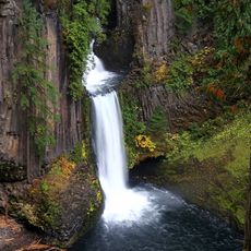
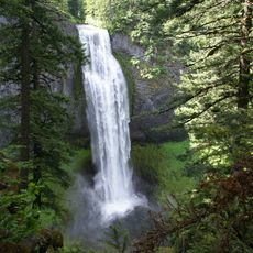
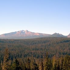
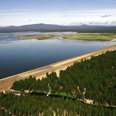
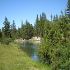
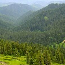
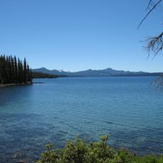
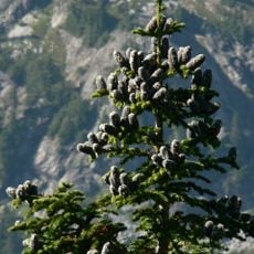
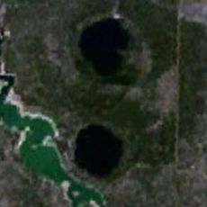
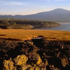
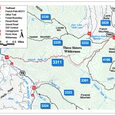
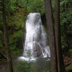
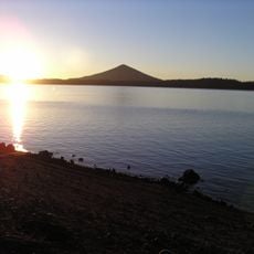
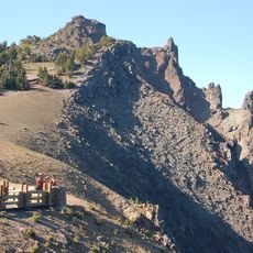
Diamond Peak Wilderness is a protected area in Oregon covering over 50,000 acres of mountainous terrain with dense forests, volcanic features, and mountain lakes scattered throughout. The Pacific Crest Trail passes through the region for about 14 miles, connecting multiple summits with open alpine meadows.
The area received protective status in 1957 as a designated Wild Area and gained full wilderness recognition through the Wilderness Act of 1964. This classification has determined how the land is used and managed since then.
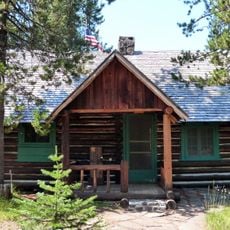
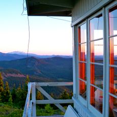
Visitors come to experience terrain without motorized vehicles or commercial facilities, seeking the sounds and solitude of untouched mountain landscapes. This protected setting allows people to connect with nature on a quieter level.
Good footwear is essential since trails cross rocky terrain and steep slopes, especially at higher elevations. Summer through early fall offers the best conditions for hiking when snow has melted and paths are accessible.
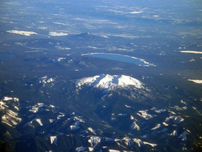
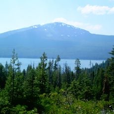
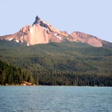
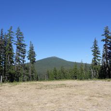
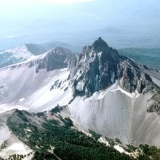
The central peak rises to about 8,700 feet and holds permanent snowfields near its summit, a remnant of ancient glacial movement in the region. These snow patches persist year-round, showing how ice ages shaped this landscape.
The community of curious travelers
AroundUs brings together thousands of curated places, local tips, and hidden gems, enriched daily by 60,000 contributors worldwide.