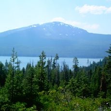
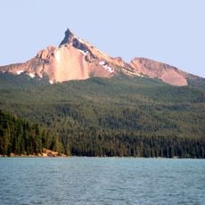
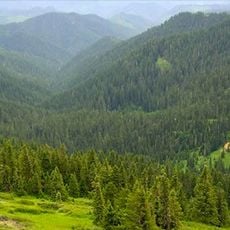
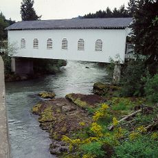
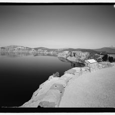
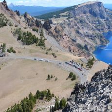
Boulder Creek Wilderness, Protected wilderness area in Umpqua National Forest, Oregon, United States.
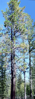
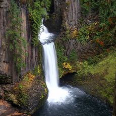
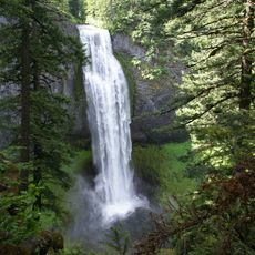
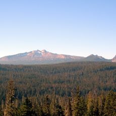
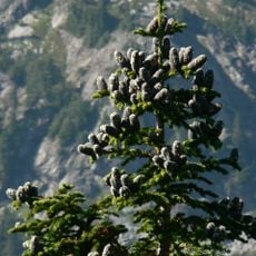
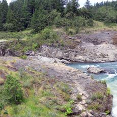
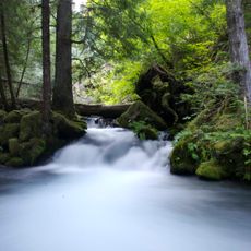
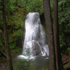
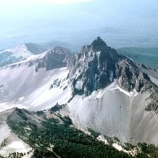
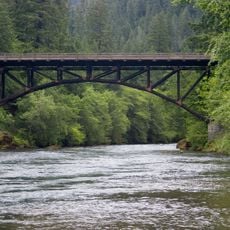
Boulder Creek Wilderness is a protected forest area in Umpqua National Forest featuring creek systems and mountainous terrain that rises from lower valleys to higher ridges. The landscape includes dense coniferous forest, open meadows along waterways, and steep slopes creating diverse woodland composition.
The area was protected in 1984 to preserve the forest landscape for the future. A major fire in 1996 altered large portions of the forest, but the landscape continues to regenerate through natural processes.
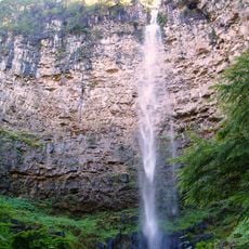
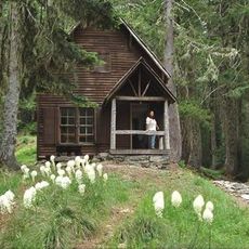
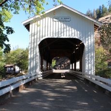
The area draws visitors who seek solitude in forest settings where the sound of flowing water and wildlife are the main companions. People who visit tend to follow established routes carefully, respecting the forest's natural recovery from past disturbances.
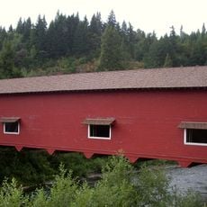
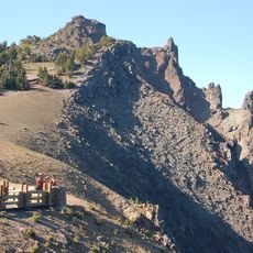
Access is through marked trails including Soda Springs Trail and connecting pathways that traverse different forest types and elevations. Visitors should be prepared for changing ground conditions and wear sturdy footwear, as soil can be muddy or rocky depending on the season and location.
The area remains snow-free throughout most winters, distinguishing it from many other protected forest zones in the region. This characteristic allows hiking even in colder months and makes it accessible year-round.
The community of curious travelers
AroundUs brings together thousands of curated places, local tips, and hidden gems, enriched daily by 60,000 contributors worldwide.