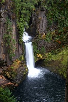
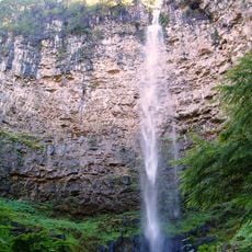
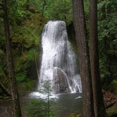
Toketee Falls, Double-tiered waterfall in Douglas County, Oregon, United States.
Toketee Falls is a two-tiered waterfall in Douglas County, Oregon, where the North Umpqua River plunges over columnar basalt formations. The water drops about 120 feet in two distinct stages and collects in a deep pool at the base.
The United States Board on Geographic Names officially designated this site in 1916, choosing this name over other proposals such as Ireland Falls. The selection honored the waterfall's distinctive appearance.
The name comes from Chinook Jargon, a trade language of Native Americans, where the word means graceful. This reflects the flowing, natural form of the falls.
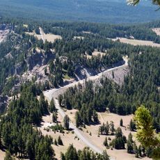
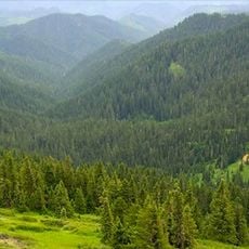
A maintained trail goes about 2 kilometers round trip through thick forest to an observation platform. The route is moderate and gives several spots to view the falls.
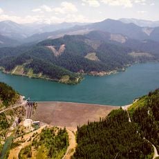
The amount of water flowing over the falls changes with the seasons because of an upstream dam that generates power for the region. Visitors may notice the force and volume of water appear different depending on the time of year.
The community of curious travelers
AroundUs brings together thousands of curated places, local tips, and hidden gems, enriched daily by 60,000 contributors worldwide.