Enable Location

We need your location to show you interesting places around you

Discover nearby places

Find interesting locations and hidden gems around you

Precise directions

Get accurate directions and distances to places

Your location is never shared with other users. It's only used when you tap the location button.

William M. Tugman State Park

Log in to your account

Start exploring — it's free

Trusted by 61,472 travelers worldwide

Continue with Google
Continue with Apple
or

We will send you a code to connect

By continuing, you accept our Terms and Conditions and our Privacy Policy

Check your inbox

We've sent a pincode in your inbox. Please enter the code below.

William M. Tugman State Park

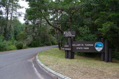
William M. Tugman State Park, State park in Oregon, United States.

Description

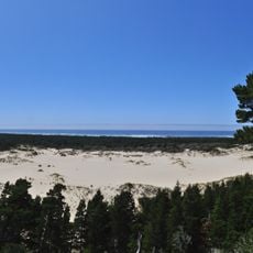
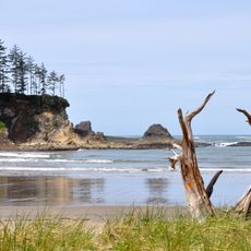
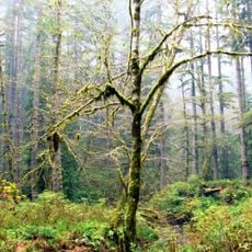
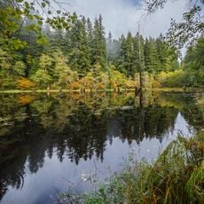
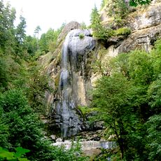
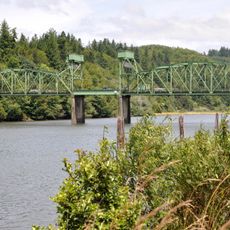
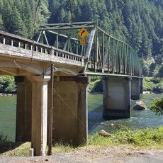
William M. Tugman State Park is a natural area surrounding Eel Lake, featuring cedar and spruce forests that create shaded spaces along the shoreline. The landscape includes open meadows near the water where visitors can access swimming beaches, boat launches, and trail systems.

History

The park came into being through several phases between 1962 and 1976 when private land was purchased and property was donated by the Oregon Game Commission. This gradual expansion allowed the shoreline to be protected step by step.

Culture

The park bears the name of William M. Tugman, a Eugene newspaper professional who served as the first chairman of Oregon State Parks Advisory Committee.

Practical

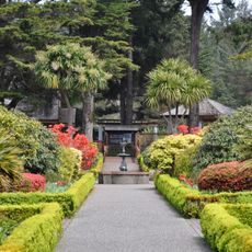
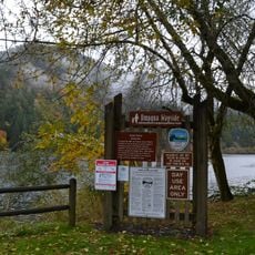
The park is open year-round with clearly marked trails suited to different fitness levels and designated swimming and boating areas. Camping facilities and picnic spots are scattered throughout the grounds, making it easy for visitors to find a suitable location for their chosen activity.

Did you know?

The lake holds several fish species including largemouth bass, rainbow trout, and silver salmon that attract anglers throughout the year. The lake ecosystem supports active fishing opportunities and good wildlife viewing.

Location
Location
GPS coordinates
43.60120,-124.17600
Latest update
December 11, 2025 18:05

AroundUs brings together thousands of curated places, local tips, and hidden gems, enriched daily by 60,000 contributors worldwide. Discover all places nearby (Coos County).

Around this place
Oregon Dunes National Recreation Area
United States of America

Oregon Dunes National Recreation Area

13.7 km
Shore Acres State Park
United States of America

Shore Acres State Park

35.1 km
Conde McCullough Memorial Bridge
United States of America

Conde McCullough Memorial Bridge

19.8 km
Sunset Bay State Park
United States of America

Sunset Bay State Park

33.8 km
Umpqua River Light
United States of America

Umpqua River Light

7 km
Elliott State Forest
United States of America

Elliott State Forest

12.9 km
Coast Guard Air Station North Bend
United States of America

Coast Guard Air Station North Bend

22 km
Egyptian Theatre
United States of America

Egyptian Theatre

26.3 km
Devil's Staircase Wilderness
United States of America

Devil's Staircase Wilderness

24.5 km
Golden and Silver Falls State Natural Area
United States of America

Golden and Silver Falls State Natural Area

23.6 km
Umpqua State Scenic Corridor
United States of America

Umpqua State Scenic Corridor

22.5 km
Umpqua River Bridge
United States of America

Umpqua River Bridge

13.5 km
Dean Creek Wildlife Area
United States of America

Dean Creek Wildlife Area

15.3 km
Cape Arago Lighthouse
United States of America

Cape Arago Lighthouse

33.1 km
Haynes Inlet Bridge
United States of America

Haynes Inlet Bridge

18.3 km
Coos Bay National Bank Building
United States of America

Coos Bay National Bank Building

26.2 km
Coos History Museum
United States of America

Coos History Museum

25.3 km
Marine life center
United States of America

Marine life center

31 km
J. S. Coke Building
United States of America

J. S. Coke Building

26.1 km
Chandler Hotel and Annex
United States of America

Chandler Hotel and Annex

26.2 km
Port Theater
United States of America

Port Theater

22 km
Liberty Theatre
United States of America

Liberty Theatre

22.1 km
Chandler Bridge
United States of America

Chandler Bridge

26.2 km
Gardiner Historic District
United States of America

Gardiner Historic District

15.3 km
Gardiner Cemetery
United States of America

Gardiner Cemetery

15.9 km
Scottsburg Bridge
United States of America

Scottsburg Bridge

28.9 km
Scottsburg Bridge
United States of America

Scottsburg Bridge

28.8 km
Cape Arago Highway
United States of America

Cape Arago Highway

27.3 km
Show the full map
« William M. Tugman State Park - State park in Oregon, United States » is provided by Around Us (aroundus.com). Images and texts are derived from Wikimedia project under a Creative Commons license. You are allowed to copy, distribute, and modify copies of this page, under the conditions set by the license, as long as this note is clearly visible.

Discover hidden gems everywhere you go!

From secret cafés to breathtaking viewpoints, skip the crowded tourist spots and find places that match your style. Our app makes it easy with voice search, smart filtering, route optimization, and insider tips from travelers worldwide. Download now for the complete mobile experience.

Around Us App Screenshot

A unique approach to discovering new places

Le Figaro

All the places worth exploring

France Info

A tailor-made excursion in just a few clicks

20 Minutes

Around Us
Travel Guide & Maps
Download

Send to your phone

QR Code
1

Open the camera app on your mobile.

2

Point at the QR code with your camera. A notification will appear.

3

Tap the notification to open the link.