Devil's Staircase Wilderness, Protected wilderness area in Douglas County, Oregon.
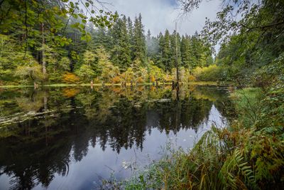
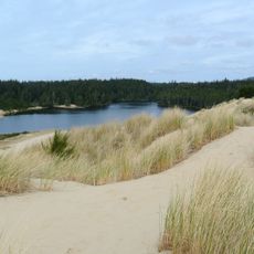
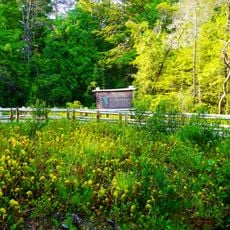
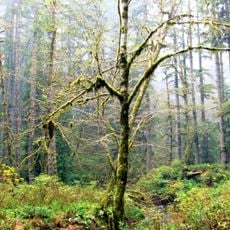
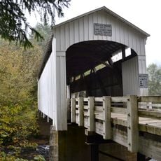
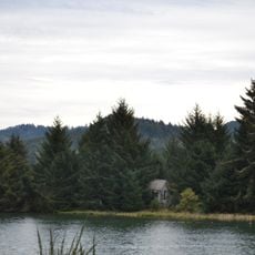
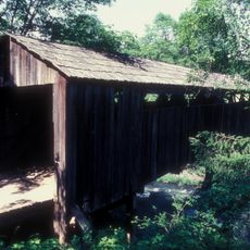
Devil's Staircase Wilderness is a protected forest area covering roughly 31,000 acres of dense woods between the Umpqua River and Smith River, east of Reedsport. The terrain consists primarily of old-growth trees, creek valleys, and rocky ridges without developed trails or marked paths.
The Forest Service determined in the 1970s that this land was unsuitable for timber harvesting and preserved it as untouched old-growth forest. The designation as wilderness followed efforts to permanently protect ancient forest stands from development.
The area shelters rare birds like northern spotted owls and marbled murrelets that attract wildlife watchers and researchers. Many visitors come to observe these species in their natural setting and gain appreciation for the forest's ecological role.
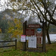
Visitors need high-clearance vehicles to reach access points and should bring maps, as the area has no marked trails. The lack of cellular coverage and remote nature require solid planning and self-reliance when exploring on foot.
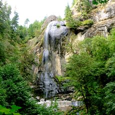
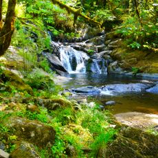
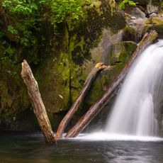
Wassen Creek forms a natural cascade over sandstone rocks, creating the water feature that inspired the area's name. This distinctive waterfall formation remains difficult to reach but rewards curious hikers who find it with an unexpected discovery.
The community of curious travelers
AroundUs brings together thousands of curated places, local tips, and hidden gems, enriched daily by 60,000 contributors worldwide.