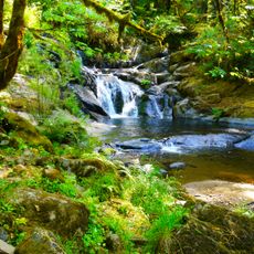
Sweet Creek Falls, Waterfall and viewpoint in Lane County, Oregon, US.
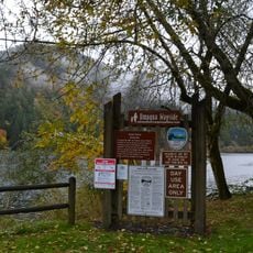
Sweet Creek Falls is a series of cascading waterfalls in the Siuslaw National Forest where water rushes over rocky terrain surrounded by thick trees. The area features several viewing platforms positioned throughout the forest to observe the falls from different angles.
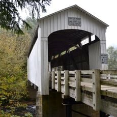
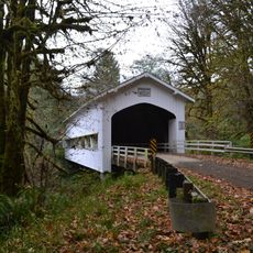
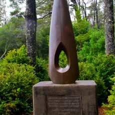
The area around these falls was settled by pioneers in the 1800s who established homesteads in the region. The natural waterfall formations were already a distinctive feature of the landscape during that early period.
The trail system incorporates several observation platforms that allow visitors to photograph and document the natural formations of the Pacific Northwest.
The trail can be walked at a moderate pace and takes about 2 hours to see the main falls. Spring through fall offers the best conditions, with reliable water flow and easier trail access.
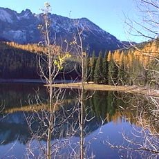
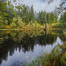
The falls change their appearance with each season, ranging from spring blooms to varying water volumes throughout the year. Those who visit multiple times notice how different the landscape looks depending on when they return.
The community of curious travelers
AroundUs brings together thousands of curated places, local tips, and hidden gems, enriched daily by 60,000 contributors worldwide.