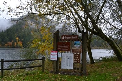
Umpqua State Scenic Corridor, State park along Umpqua River in Oregon, United States.
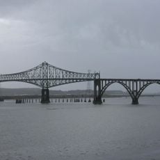
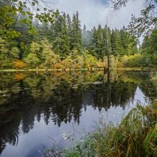
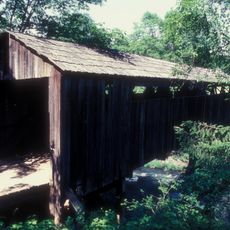
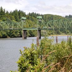
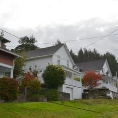
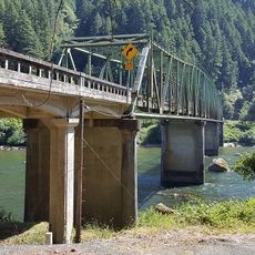
Umpqua State Scenic Corridor is a protected area along the Umpqua River near Florence, Oregon, defined by dense forests of myrtle, maple, and native plants. The land stretches across several miles and provides multiple access points and rest areas along the waterway.
The land was acquired through several transactions between 1946 and 1982, securing important myrtle stands for the future. Efforts to protect these forest stands resulted from cooperation between local authorities and conservation organizations.
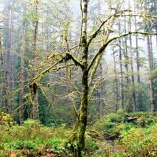
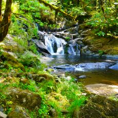
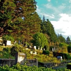
The corridor functions as a place where visitors observe native plant and animal life, particularly the myrtle groves that shape the river's character. The natural setting invites quiet walks and exploration of the woodland landscape.
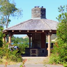
A boat ramp is freely accessible and reachable by vehicle, with parking areas for cars available. Facilities include picnic tables and restrooms to meet basic needs during a visit.
The myrtle trees here are a botanical specialty found only in this region, supporting a stable ecosystem of wildlife and plants. This specialized forest formation results from the particular climate and soil conditions along the river.
Location: Oregon
Website: https://stateparks.oregon.gov/index.cfm?do=park.profile&parkId=181
GPS coordinates: 43.65120,-123.90600
Latest update: December 13, 2025 17:04
Oregon Dunes National Recreation Area
23.3 km
Siuslaw National Forest
28 km
Jessie M. Honeyman Memorial State Park
34.9 km
Conde McCullough Memorial Bridge
35.7 km
Umpqua River Light
23.5 km
Elliott State Forest
11.7 km
William M. Tugman State Park
22.5 km
Coast Guard Air Station North Bend
38.1 km
Fort Umpqua
27.1 km
Devil's Staircase Wilderness
7.7 km
Golden and Silver Falls State Natural Area
18.7 km
Umpqua River Bridge
17 km
Dean Creek Wildlife Area
11.7 km
Sandland Adventures
37.3 km
Roaring Camp Bridge
37.6 km
Beaver Creek Falls
32.4 km
Haynes Inlet Bridge
34.6 km
Sand Dunes Frontier
33.6 km
Port Theater
37.4 km
Eye of the Needle
35.2 km
Liberty Theatre
37.5 km
Chandler Bridge
37.5 km
Jessie M. Honeyman Memorial State Park Hexagonal Kitchen Shelter
35.3 km
Jessie M. Honeyman Memorial State Park Historic District
35.3 km
Gardiner Historic District
18.6 km
Gardiner Cemetery
18.8 km
Scottsburg Bridge
6.5 km
Scottsburg Bridge
6.4 kmVisited this place? Tap the stars to rate it and share your experience / photos with the community! Try now! You can cancel it anytime.
Discover hidden gems everywhere you go!
From secret cafés to breathtaking viewpoints, skip the crowded tourist spots and find places that match your style. Our app makes it easy with voice search, smart filtering, route optimization, and insider tips from travelers worldwide. Download now for the complete mobile experience.
A unique approach to discovering new places❞
— Le Figaro
All the places worth exploring❞
— France Info
A tailor-made excursion in just a few clicks❞
— 20 Minutes