Coos County

Log in to your account

AroundUs is a community-driven map of interesting places, built by curious explorers like you. It grows with every review, story, and photo you share.
Connect to save your favorite spots, contribute locations, and create personalized routes.
By continuing, you accept our Terms and Conditions and our Privacy Policy
Add to collection
Map
Suggest a change
Share

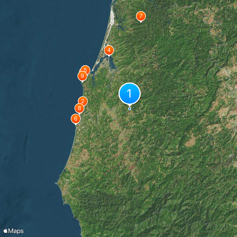
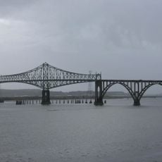
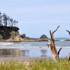
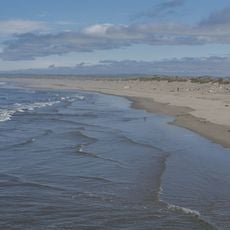
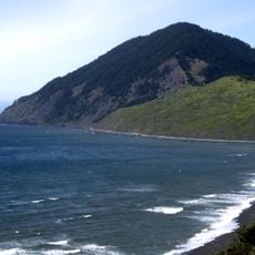
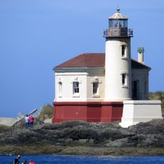
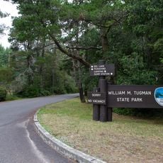
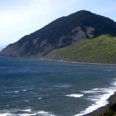
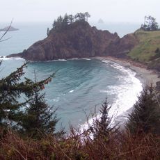
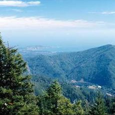
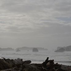
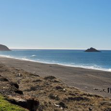
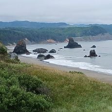
Coos County, Administrative division in Oregon, United States.
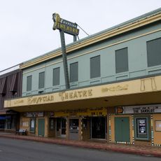
Coos County encompasses a region along the Pacific coast, featuring departments that manage local governance, public health services, and community development initiatives.

The county established its administrative framework with elected commissioners responsible for policy decisions and community representation through dedicated governmental departments.

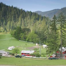
The Coos County Fair brings together residents and visitors annually to celebrate local traditions, agricultural heritage, and community achievements.

The Community Development office operates weekdays from 7:30 AM to 5:00 PM at 250 N. Baxter, handling permits, applications, and planning services.

Applications in Coos County follow specific timelines, with 150 days for final decisions outside urban areas and 120 days within urban boundaries.

Location: Oregon

Inception: 1853

Capital city: Coquille

Shares border with: Douglas County, Curry County

Website: http://co.coos.or.us

GPS coordinates: 43.18000,-124.09000

Latest update: May 27, 2025 08:52

Around this place
Show the full map
Oregon Dunes National Recreation Area
United States of America

Oregon Dunes National Recreation Area

61 km
Bandon Dunes Golf Resort
United States of America

Bandon Dunes Golf Resort

24.4 km
Shore Acres State Park
United States of America

Shore Acres State Park

28.6 km
Conde McCullough Memorial Bridge
United States of America

Conde McCullough Memorial Bridge

29.5 km
Sunset Bay State Park
United States of America

Sunset Bay State Park

28.5 km
Face Rock State Scenic Viewpoint
United States of America

Face Rock State Scenic Viewpoint

29.2 km
Elliott State Forest
United States of America

Elliott State Forest

45.4 km
Bullards Beach State Park
United States of America

Bullards Beach State Park

26.1 km
Humbug Mountain State Park
United States of America

Humbug Mountain State Park

61.8 km
Coquille River Lighthouse
United States of America

Coquille River Lighthouse

27.9 km
West Coast Game Park Safari
United States of America

West Coast Game Park Safari

32.5 km
William M. Tugman State Park
United States of America

William M. Tugman State Park

47.4 km
Humbug Mountain
United States of America

Humbug Mountain

62.5 km
Coast Guard Air Station North Bend
United States of America

Coast Guard Air Station North Bend

28.3 km
Rogue River Ranch
United States of America

Rogue River Ranch

54.1 km
Egyptian Theatre
United States of America

Egyptian Theatre

23.1 km
Port Orford Heads State Park
United States of America

Port Orford Heads State Park

59.9 km
Zane Grey Cabin
United States of America

Zane Grey Cabin

58.1 km
Golden and Silver Falls State Natural Area
United States of America

Golden and Silver Falls State Natural Area

36.2 km
Grassy Knob Wilderness
United States of America

Grassy Knob Wilderness

52.6 km
Bandon Marsh National Wildlife Refuge
United States of America

Bandon Marsh National Wildlife Refuge

27 km
Bandon State Natural Area
United States of America

Bandon State Natural Area

31.2 km
Paradise Point State Recreation Site
United States of America

Paradise Point State Recreation Site

58.1 km
Coquille Myrtle Grove State Natural Site
United States of America

Coquille Myrtle Grove State Natural Site

24.3 km
Face Rock Viewpoint
United States of America

Face Rock Viewpoint

29.2 km
Battle Rock Wayside Park

Battle Rock Wayside Park

58.7 km
Bullards Bridge
United States of America

Bullards Bridge

25.1 km
Patrick Hughes House
United States of America

Patrick Hughes House

52.3 km
Show the full map

Reviews

Visited this place? Tap the stars to rate it and share your experience / photos with the community! Try now! You can cancel it anytime.

Administrative divisions
« Coos County - Administrative division in Oregon, United States » is provided by Around Us (aroundus.com). Images and texts are derived from Wikimedia project under a Creative Commons license. You are allowed to copy, distribute, and modify copies of this page, under the conditions set by the license, as long as this note is clearly visible.

Discover hidden gems everywhere you go!

From secret cafés to breathtaking viewpoints, skip the crowded tourist spots and find places that match your style. Our app makes it easy with voice search, smart filtering, route optimization, and insider tips from travelers worldwide. Download now for the complete mobile experience.

Around Us App Screenshot

A unique approach to discovering new places

Le Figaro

All the places worth exploring

France Info

A tailor-made excursion in just a few clicks

20 Minutes