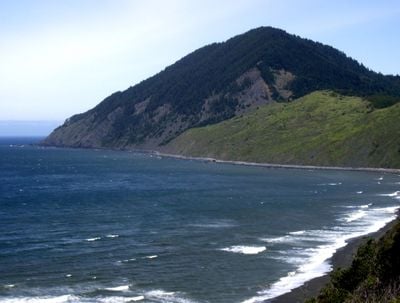
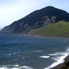
Humbug Mountain, Mountain summit in Curry County, Oregon, United States.
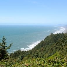
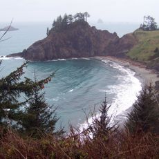
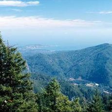
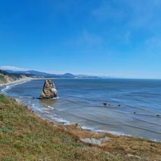
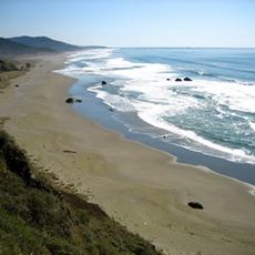
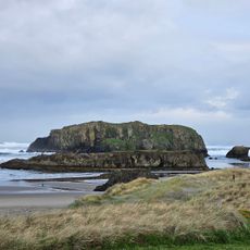
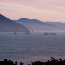
Humbug Mountain rises 1,765 feet directly from the Pacific Ocean along Oregon's southern coast, featuring dense old-growth temperate rainforest covering its steep slopes and offering expansive ocean views from its summit.
Originally called Me-tus by the indigenous Tututni people and later known as Sugarloaf Mountain by European settlers, the mountain received its current name after Captain William Tichenor's exploration party became lost nearby in the 1850s.
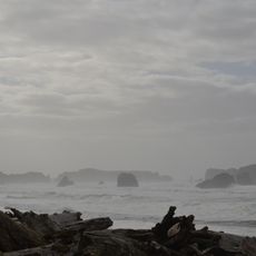
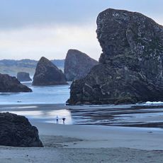
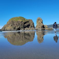
The mountain serves as a significant landmark for coastal navigation and marine wildlife observation, particularly during gray whale migration seasons when visitors gather to watch these magnificent creatures pass along the shoreline.
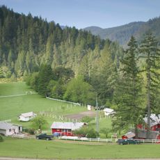
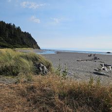
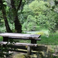
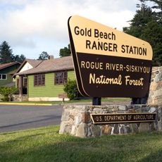
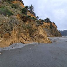
Visitors can access the summit via a 5.5-mile trail system within Humbug Mountain State Park, which offers over 100 campsites, restrooms, showers, and picnic areas accessible from Highway 101.
Formed during the early Cretaceous period approximately 130 million years ago from ancient island formations, the mountain represents one of Oregon's most geologically significant coastal features with sandstone outcrops revealing Earth's ancient history.
The community of curious travelers
AroundUs brings together thousands of curated places, local tips, and hidden gems, enriched daily by 60,000 contributors worldwide.