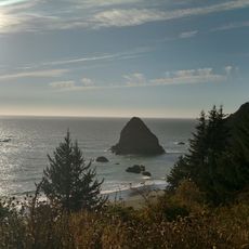
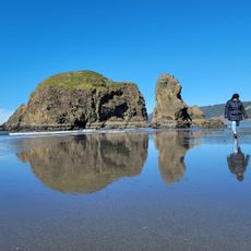
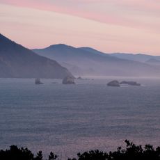
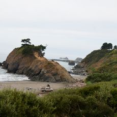
Ophir Beach, Beach in Curry County, Oregon, United States
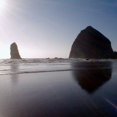
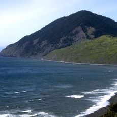
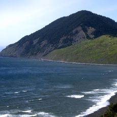
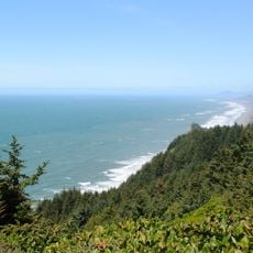
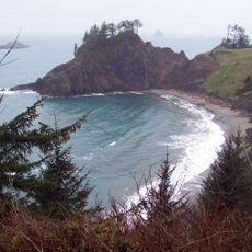
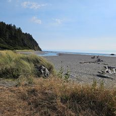
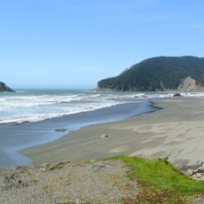
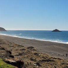
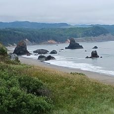
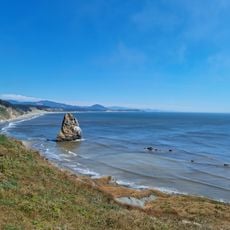
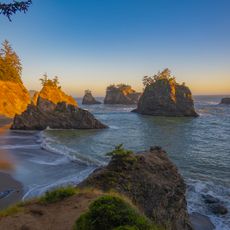
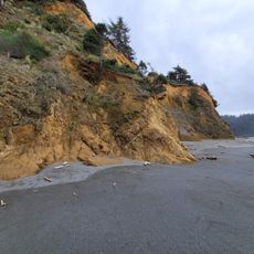
Ophir Beach is an undeveloped sandy beach on the Oregon Coast in Curry County, United States, seven miles north of Gold Beach. It runs more than 8.5 kilometres (5.3 mi) from Nesika Beach in the south to the cape called Devils Backbone in the north, with U.S. Route 101 along its eastern edge. Euchre Creek crosses the northern third of the beach on its way to the Pacific.
The area was historically inhabited by Native American tribes before European settlers arrived in the 19th century, and has remained largely undeveloped for commercial purposes, preserving its natural state.
Local communities have traditionally used this coastal area for fishing, shell collecting, and rockhounding, with the beach being particularly valued by anglers seeking surfperch in its waters.
Access is available via Highway 101 with designated parking areas, restroom facilities, and picnic tables provided by Oregon State Parks, located approximately 11 miles north of Gold Beach.
The beach is also known as Nesika Beach, and its southern end meets the Nesika Beach community. Euchre Creek crosses the northern third of the sand before reaching the Pacific, cutting the beach into distinct sections. A state-maintained safety rest area with picnic tables and restrooms sits along the shore.
The community of curious travelers
AroundUs brings together thousands of curated places, local tips, and hidden gems, enriched daily by 93,467 contributors worldwide.