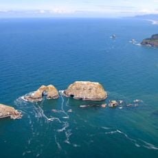
Oregon Islands National Wildlife Refuge, National wildlife refuge on Oregon coast, US.
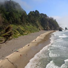
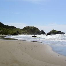
Oregon Islands National Wildlife Refuge is a nature reserve that runs along the Pacific coast of Oregon from Tillamook Head to the California border. It covers around 1,900 rocks, reefs, and islands scattered along the shoreline.
The refuge was established in 1935 by the federal government to protect marine mammals and seabirds from hunting and human disturbance. It was one of the first steps taken to protect the natural habitats along the Pacific coast.
The islands are home to thirteen seabird species that nest on rocky cliffs, including tufted puffins and common murres. Watching them from the shore is a common experience for anyone visiting the Oregon coast in summer.
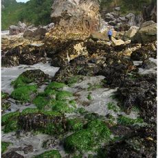
The islands themselves cannot be visited on foot, so wildlife watching from the shore or on a guided boat tour is the main option. Visitors who arrive by small plane should know that a minimum flight altitude applies over the protected areas.
The southern part of the refuge holds the largest Steller sea lion breeding and birthing site outside of Alaska, which many visitors do not realize. These animals return to the same spots each year and can be watched from the shore.
The community of curious travelers
AroundUs brings together thousands of curated places, local tips, and hidden gems, enriched daily by 60,000 contributors worldwide.