Enable Location

We need your location to show you interesting places around you

Discover nearby places

Find interesting locations and hidden gems around you

Precise directions

Get accurate directions and distances to places

Your location is never shared with other users. It's only used when you tap the location button.

Cape Lookout State Park

Log in to your account

Start exploring — it's free

Trusted by 62,468 travelers worldwide

Continue with Google
Continue with Apple
or

We will send you a code to connect

By continuing, you accept our Terms and Conditions and our Privacy Policy

Check your inbox

We've sent a pincode in your inbox. Please enter the code below.

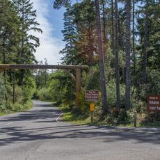
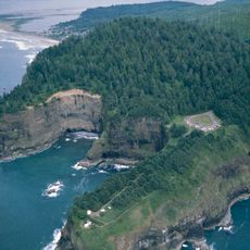
Cape Lookout State Park, State park on Pacific coast in Tillamook County, United States

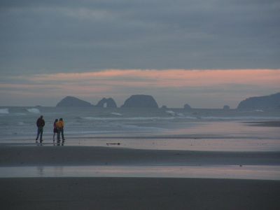
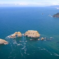
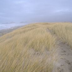
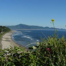
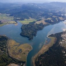
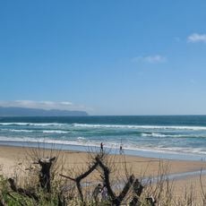
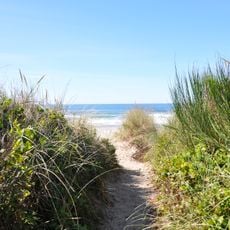
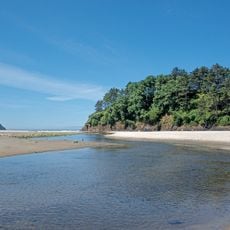
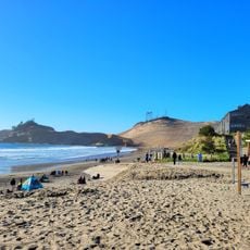
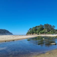
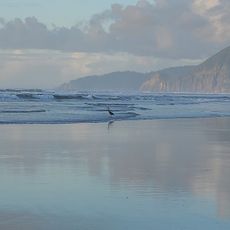
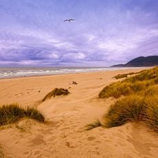
Cape Lookout State Park sits on a sand spit between Netarts Bay and the Pacific Ocean along Oregon's north coast. It features dense forests of Sitka spruce and hemlock trees that frame the landscape and provide shelter for the campground, day-use areas, and hiking trails.

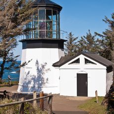
The United States Lighthouse Service donated land in 1935 that formed the foundation of the park as a public recreation area. This gift protected the coastal landscape from development and shaped how the place is used today.

A memorial marker on Cape Trail honors the crew of a B-17 bomber that crashed into the cape during World War II coastal patrol operations. Visitors today find it a quiet place to reflect on the area's wartime past.

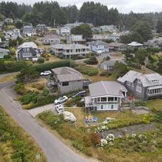
The park offers camping spots, cabins, and yurts to suit different preferences and budgets. Book your accommodation ahead of time, especially during warmer months, and bring layers since coastal weather changes quickly throughout the day.

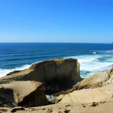
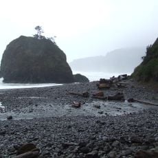
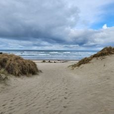
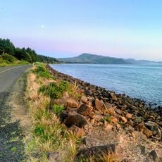
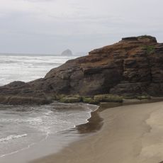
To reach the beach, you cross a rocky barrier about 50 feet wide that was built to stop sand dunes from washing away. This practical defense shows how the park actively protects its shoreline from the ocean's constant force.

The community of curious travelers

AroundUs brings together thousands of curated places, local tips, and hidden gems, enriched daily by 60,000 contributors worldwide.

Start exploring
Location
Fee
Yes
Operator
Oregon Parks and Recreation Department
Address
Whiskey Creek Road
Opening Hours
24/7
Phone
GPS coordinates
45.35260,-123.97235
Latest update
December 8, 2025 20:00
Around this place
Tillamook Air Museum
United States of America

Tillamook Air Museum

15.2 km
Cape Kiwanda State Natural Area
United States of America

Cape Kiwanda State Natural Area

15.2 km
Nehalem Bay State Park
United States of America

Nehalem Bay State Park

38.6 km
Cape Meares Lighthouse
United States of America

Cape Meares Lighthouse

14.9 km
Three Arch Rocks National Wildlife Refuge
United States of America

Three Arch Rocks National Wildlife Refuge

12.3 km
Short Beach
United States of America

Short Beach

13.6 km
Naval Air Station Tillamook
United States of America

Naval Air Station Tillamook

15 km
Munson Creek Falls State Natural Site
United States of America

Munson Creek Falls State Natural Site

15.7 km
Bob Straub State Park
United States of America

Bob Straub State Park

18.9 km
Neskowin Beach State Recreation Site
United States of America

Neskowin Beach State Recreation Site

27.9 km
Oceanside Beach State Recreation Site
United States of America

Oceanside Beach State Recreation Site

12.1 km
Nestucca Bay National Wildlife Refuge
United States of America

Nestucca Bay National Wildlife Refuge

20.1 km
Cape Meares National Wildlife Refuge
United States of America

Cape Meares National Wildlife Refuge

15 km
Oceanside Beach State Recreation Site

Oceanside Beach State Recreation Site

12.2 km
Manhattan Beach State Recreation Site
United States of America

Manhattan Beach State Recreation Site

32.4 km
Nehalem Beach
United States of America

Nehalem Beach

36.6 km
Wilson River Bridge
United States of America

Wilson River Bridge

17.2 km
Neskowin Beach
United States of America

Neskowin Beach

27.9 km
Wilson Beach
United States of America

Wilson Beach

8.8 km
Sunset Beach
United States of America

Sunset Beach

40.7 km
McPhillips Beach
United States of America

McPhillips Beach

13.8 km
Hangar B
United States of America

Hangar B

15.1 km
Latimer Quilt & Textile Center
United States of America

Latimer Quilt & Textile Center

17.1 km
NAS Tillamook dirigible hangars
United States of America

NAS Tillamook dirigible hangars

14.8 km
Neskowin Beach
United States of America

Neskowin Beach

28 km
Kiwanda Beach
United States of America

Kiwanda Beach

22.4 km
Nehalem Beach
United States of America

Nehalem Beach

35 km
Sunset Beach
United States of America

Sunset Beach

38.1 km
Show the full map
« Cape Lookout State Park - State park on Pacific coast in Tillamook County, United States » is provided by Around Us (aroundus.com). Images and texts are derived from Wikimedia project under a Creative Commons license. You are allowed to copy, distribute, and modify copies of this page, under the conditions set by the license, as long as this note is clearly visible.

Discover hidden gems everywhere you go!

From secret cafés to breathtaking viewpoints, skip the crowded tourist spots and find places that match your style. Our app makes it easy with voice search, smart filtering, route optimization, and insider tips from travelers worldwide. Download now for the complete mobile experience.

Around Us App Screenshot

A unique approach to discovering new places

Le Figaro

All the places worth exploring

France Info

A tailor-made excursion in just a few clicks

20 Minutes

Around Us
Travel Guide & Maps
Download

Send to your phone

QR Code
1

Open the camera app on your mobile.

2

Point at the QR code with your camera. A notification will appear.

3

Tap the notification to open the link.