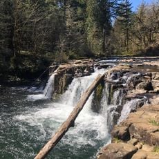
Munson Creek Falls State Natural Site, State natural site in Tillamook County, Oregon, US
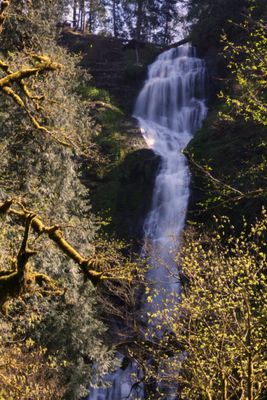
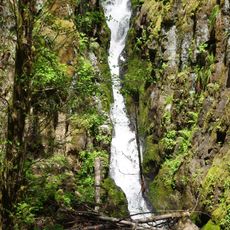
Munson Creek Falls is a waterfall in the Oregon Coast Range that drops 319 feet across multiple tiers through dense forest. The site sits within old-growth woodland and native plants that frame the cascade naturally.
The land was transferred by the Western Rivers Conservancy to the Oregon Parks and Recreation Department with support from the Paul Allen Foundation. This transfer ensured the site would remain protected and open to the public.
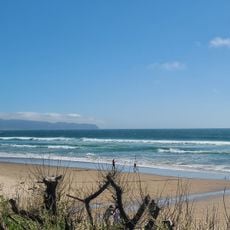
The creek serves as critical habitat for salmon, where visitors can watch the natural spawning cycle during late fall and winter months. The area demonstrates the importance of this water source to local wildlife.
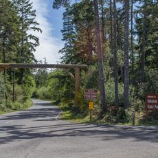
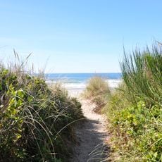
A wide, accessible trail winds through the forest for about a quarter mile to reach the waterfall viewpoint. The path suits visitors of varying physical abilities and poses no major challenges for most people.
The falls rank among the highest waterfall formations in the Oregon Coast Range and display distinct seasonal changes throughout the year. Maple trees and trillium flowers fill the woodland with color in spring and summer, while water flow varies greatly depending on rainfall and snowmelt.
The community of curious travelers
AroundUs brings together thousands of curated places, local tips, and hidden gems, enriched daily by 60,000 contributors worldwide.