Samuel H. Boardman State Scenic Corridor, Linear state park along Pacific coast in Oregon, United States.
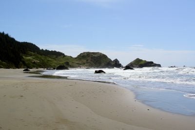
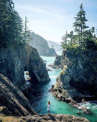
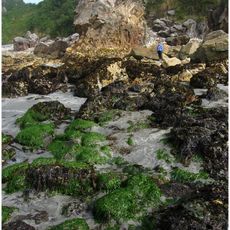
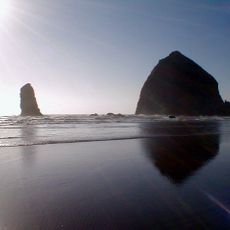
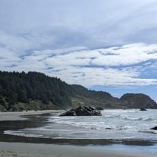
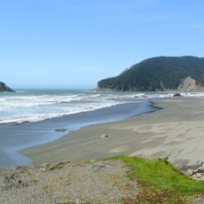
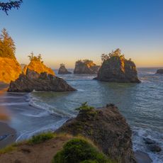
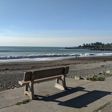
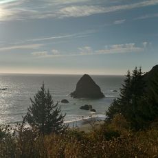
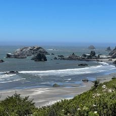
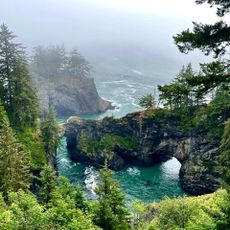
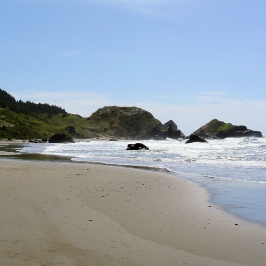
Samuel H. Boardman State Scenic Corridor is a coastal strip in Oregon featuring steep cliffs, small sandy beaches, and distinctive rock formations rising from the water. The area is framed by dense forest and offers multiple viewpoints across the water and rocky shoreline.
A national park from Gold Beach to Brookings was proposed in the late 1930s, and a Congressional bill followed in 1940, but it was never realized. The first land for a state park was 121 acres purchased in May 1949, with at least 12 more purchases by May 1957. In 1950 Borax Consolidated, Ltd of London gave 367 acres while retaining underground mineral rights; the park was named that year for superintendent Samuel H. Boardman.
At Indian Sands within the corridor, archaeological finds show human activity 10,000 to 12,000 years ago, likely from migration down the Pacific coast from the Bering Land Bridge area. Later the area was used by Native Americans, and abandoned mining operations left ruins still visible along the corridor.
Multiple walking paths and viewpoints are distributed along the strip with different starting points for exploration. Parking areas are available at the main access points, and most paths are easy to walk though some have elevation changes.
At the Indian Sands site within the corridor, archaeological finds show human activity 10,000 to 12,000 years ago, likely from migration along the Pacific coast from the Bering Land Bridge area. The corridor also holds ruins of abandoned mining operations that visitors can still see.
The community of curious travelers
AroundUs brings together thousands of curated places, local tips, and hidden gems, enriched daily by 94,090 contributors worldwide.