Crissey Field State Recreation Site

Log in to your account

AroundUs is a community-driven map of interesting places, built by curious explorers like you. It grows with every review, story, and photo you share.
Connect to save your favorite spots, contribute locations, and create personalized routes.
Continue with Google
Continue with Apple
Continue with X
Continue with Facebook
Continue with email
By continuing, you accept our Terms and Conditions and our Privacy Policy
Create an account

Crissey Field State Recreation Site

Add to collection
Map
Suggest a change
Share

Crissey Field State Recreation Site, State park near Brookings, Oregon, United States.

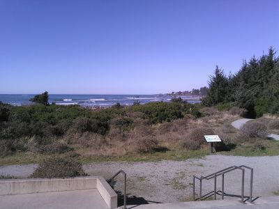
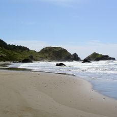
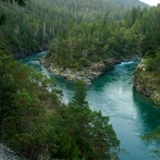
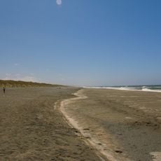
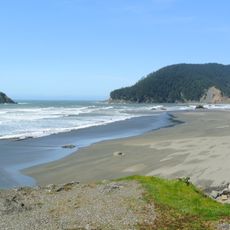
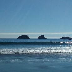
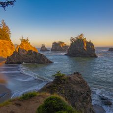
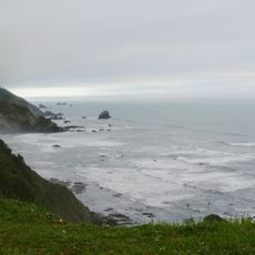
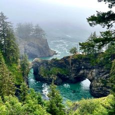
Crissey Field State Recreation Site is a natural area at Oregon's southernmost coastal point that combines sandy beaches with wetlands next to Winchuck River. Three hiking trails cross the landscape with minimal elevation gain and pass through Sitka spruce forests and marshy areas.

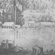
The site was originally a lily bulb growing area cultivated by W.L. Crissey before World War II and later functioned as a small airfield until 1960. The current name preserves the memory of the landowner and the property's early aviation use.

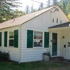
The Welcome Center showcases Oregon's commitment to environmental stewardship through its construction methods and teaches visitors about renewable energy in action. The building and grounds reflect a deep respect for nature and sustainability that is visible throughout the site.

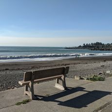
Access to the beach runs through a converted runway path that is straightforward to walk and requires no special skills. The best times to visit are during calm weather, as coastal forecasts can affect accessibility to different areas.

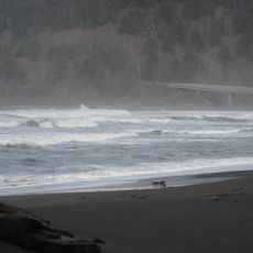
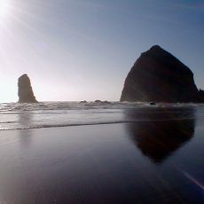
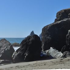
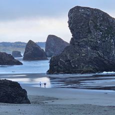
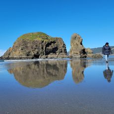
The beaches are known for mineral deposits including agates, red and green jasper, quartz, and jade that attract collectors from across the region. This area stands out as one of Oregon's most productive spots for finding these natural stones.

Address: US 101, Brookings, OR 97415, USA

Opening Hours: Dimanche: 09:00 - 17:00

Phone: +(800)5516949

Website: http://oregonstateparks.org/index.cfm?do=parkPage.dsp_parkPage&parkId=53

GPS coordinates: 42.00139,-124.21118

Latest update: December 9, 2025 20:28

Photos
Around this place
Redwood National and State Parks
United States of America

Redwood National and State Parks

54.1 km
Jedediah Smith Redwoods State Park
United States of America

Jedediah Smith Redwoods State Park

26.1 km
Del Norte Coast Redwoods State Park
United States of America

Del Norte Coast Redwoods State Park

38.2 km
St. George Reef Light
United States of America

St. George Reef Light

22.9 km
Lost Monarch
United States of America

Lost Monarch

25.7 km
Battery Point Light
United States of America

Battery Point Light

28.7 km
Harris Beach State Park
United States of America

Harris Beach State Park

10.8 km
Samuel H. Boardman State Scenic Corridor
United States of America

Samuel H. Boardman State Scenic Corridor

17.7 km
Kalmiopsis Wilderness
United States of America

Kalmiopsis Wilderness

37.4 km
Smith River National Recreation Area
United States of America

Smith River National Recreation Area

40.2 km
Oregon Islands National Wildlife Refuge
United States of America

Oregon Islands National Wildlife Refuge

32 km
Castle Rock National Wildlife Refuge
United States of America

Castle Rock National Wildlife Refuge

26.9 km
Thomas Creek Bridge
United States of America

Thomas Creek Bridge

22 km
Tolowa Dunes State Park
United States of America

Tolowa Dunes State Park

15 km
Alfred A. Loeb State Park
United States of America

Alfred A. Loeb State Park

12.5 km
Lone Ranch Beach
United States of America

Lone Ranch Beach

15.3 km
Pistol River State Scenic Viewpoint
United States of America

Pistol River State Scenic Viewpoint

34.4 km
Camp Lincoln
United States of America

Camp Lincoln

21.2 km
Gasquet Ranger Station Historic District
United States of America

Gasquet Ranger Station Historic District

26.8 km
Pebble Beach
United States of America

Pebble Beach

26.4 km
Secret Beach
United States of America

Secret Beach

25.3 km
Sporthaven Beach
United States of America

Sporthaven Beach

6.1 km
Meyers Creek Beach Viewpoint
United States of America

Meyers Creek Beach Viewpoint

38.5 km
Whaleshead Beach
United States of America

Whaleshead Beach

19.1 km
Redwood Theatre
United States of America

Redwood Theatre

8.2 km
Meyers Creek Pullout South
United States of America

Meyers Creek Pullout South

37.6 km
Crescent Beach
United States of America

Crescent Beach

30.5 km
Natural Bridges Cove
United States of America

Natural Bridges Cove

24.5 km
Show the full map
Reviews

Visited this place? Tap the stars to rate it and share your experience / photos with the community! Try now! You can cancel it anytime.

« Crissey Field State Recreation Site - State park near Brookings, Oregon, United States » is provided by Around Us (aroundus.com). Images and texts are derived from Wikimedia project under a Creative Commons license. You are allowed to copy, distribute, and modify copies of this page, under the conditions set by the license, as long as this note is clearly visible.

Discover hidden gems everywhere you go!

From secret cafés to breathtaking viewpoints, skip the crowded tourist spots and find places that match your style. Our app makes it easy with voice search, smart filtering, route optimization, and insider tips from travelers worldwide. Download now for the complete mobile experience.

Around Us App Screenshot

A unique approach to discovering new places

Le Figaro

All the places worth exploring

France Info

A tailor-made excursion in just a few clicks

20 Minutes