Enable Location

We need your location to show you interesting places around you

Discover nearby places

Find interesting locations and hidden gems around you

Precise directions

Get accurate directions and distances to places

Your location is never shared with other users. It's only used when you tap the location button.

St. George Reef Light

Log in to your account

Save your favorite places
Create custom travel routes
Rate and review places
Access the full interactive map
Continue with Google
Continue with Apple
Continue with email
By continuing, you accept our Terms and Conditions and our Privacy Policy
Create an account
Add to collection
Map
Suggest a change
Share

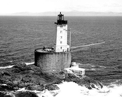
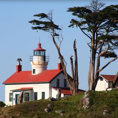
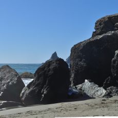
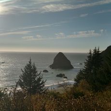
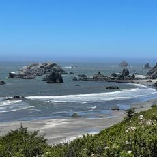
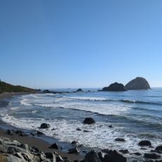
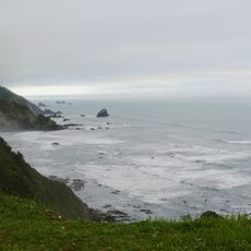
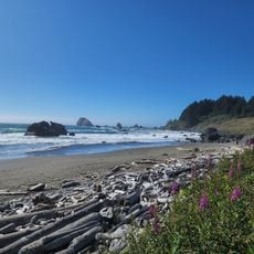
St. George Reef Light, Historic lighthouse on North West Seal Rock, California.

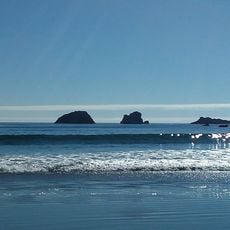
St. George Reef Light is a stone lighthouse built on a granite platform, standing about 6 miles offshore from the northern California coast near Seal Rock. The structure rises from this exposed rocky site and features a first-order Fresnel lens that once guided ships through these waters.

Construction began in 1883 following multiple shipwrecks in the area, particularly the loss of the Brother Jonathan. The project was undertaken to prevent further maritime disasters in this treacherous region.

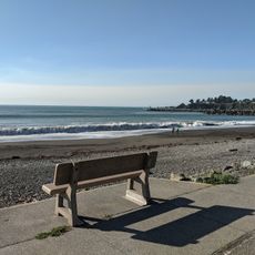
The lighthouse embodies the relationship between people and the sea, serving as a reminder of the hazards sailors once faced in these waters. It stands as a symbol of human determination to guide vessels safely through one of the coast's most dangerous passages.

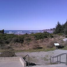
The lighthouse is only accessible by water, with helicopter tours available from October through May when weather permits. Visitors should plan visits during calmer months, as ocean conditions determine accessibility.

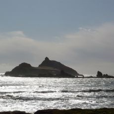
Waves frequently crash against the exposed granite rocks at heights reaching 50 feet (15 m), making this one of the Pacific coast's most exposed lighthouses. The structure endures some of the roughest ocean conditions found anywhere along the western coast.

Location: Del Norte County

Inception: 1892

Height: 27 m

Made from material: stone

GPS coordinates: 41.83630,-124.37600

Latest update: December 8, 2025 19:56

Photos
Around this place
Jedediah Smith Redwoods State Park
United States of America

Jedediah Smith Redwoods State Park

23.6 km
Trees of Mystery
United States of America

Trees of Mystery

37 km
Del Norte Coast Redwoods State Park
United States of America

Del Norte Coast Redwoods State Park

31.6 km
Lost Monarch
United States of America

Lost Monarch

24.5 km
Battery Point Light
United States of America

Battery Point Light

17.7 km
Harris Beach State Park
United States of America

Harris Beach State Park

26.3 km
Samuel H. Boardman State Scenic Corridor
United States of America

Samuel H. Boardman State Scenic Corridor

31.6 km
Castle Rock National Wildlife Refuge
United States of America

Castle Rock National Wildlife Refuge

13.4 km
Pelican State Beach
United States of America

Pelican State Beach

22.2 km
Thomas Creek Bridge
United States of America

Thomas Creek Bridge

36.7 km
Tolowa Dunes State Park
United States of America

Tolowa Dunes State Park

15 km
Alfred A. Loeb State Park
United States of America

Alfred A. Loeb State Park

34.5 km
Lone Ranch Beach
United States of America

Lone Ranch Beach

29.3 km
Camp Lincoln
United States of America

Camp Lincoln

20 km
Redwood Experimental Forest
United States of America

Redwood Experimental Forest

37.2 km
Gasquet Ranger Station Historic District
United States of America

Gasquet Ranger Station Historic District

34.1 km
Crissey Field State Recreation Site

Crissey Field State Recreation Site

22.9 km
Pebble Beach
United States of America

Pebble Beach

14.4 km
Sporthaven Beach
United States of America

Sporthaven Beach

24.5 km
Harris Sate Park Campground
United States of America

Harris Sate Park Campground

26.4 km
Whaleshead Beach
United States of America

Whaleshead Beach

33.5 km
Kellogg Road Beach
United States of America

Kellogg Road Beach

14 km
Brotherhood Tree
United States of America

Brotherhood Tree

37.1 km
Crescent Beach
United States of America

Crescent Beach

21.5 km
Harris Beach
United States of America

Harris Beach

26 km
Wilson Creek Beach
United States of America

Wilson Creek Beach

34.7 km
Crescent Beach
United States of America

Crescent Beach

21.8 km
Hidden Beach
United States of America

Hidden Beach

36.8 km
Show the full map
Reviews

Visited this place? Tap the stars to rate it and share your experience / photos with the community! Try now! You can cancel it anytime.

« St. George Reef Light - Historic lighthouse on North West Seal Rock, California » is provided by Around Us (aroundus.com). Images and texts are derived from Wikimedia project under a Creative Commons license. You are allowed to copy, distribute, and modify copies of this page, under the conditions set by the license, as long as this note is clearly visible.

Discover hidden gems everywhere you go!

From secret cafés to breathtaking viewpoints, skip the crowded tourist spots and find places that match your style. Our app makes it easy with voice search, smart filtering, route optimization, and insider tips from travelers worldwide. Download now for the complete mobile experience.

Around Us App Screenshot

A unique approach to discovering new places

Le Figaro

All the places worth exploring

France Info

A tailor-made excursion in just a few clicks

20 Minutes