Enable Location

We need your location to show you interesting places around you

Discover nearby places

Find interesting locations and hidden gems around you

Precise directions

Get accurate directions and distances to places

Your location is never shared with other users. It's only used when you tap the location button.

Tolowa Dunes State Park

Log in to your account

Start exploring — it's free

Trusted by 65,778 travelers worldwide

Continue with Google
Continue with Apple
or

We will send you a code to connect

By continuing, you accept our Terms and Conditions and our Privacy Policy

Check your inbox

We've sent a pincode in your inbox. Please enter the code below.

Tolowa Dunes State Park
Discussion Reviews 1 Photos
4.3k Popularity

Tolowa Dunes State Park, Coastal state park in Del Norte County, United States.

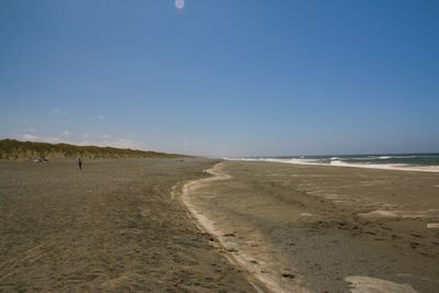
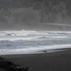
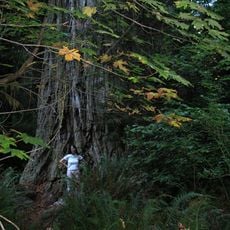
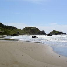
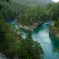
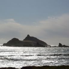
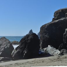
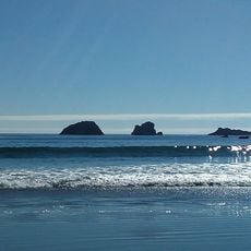
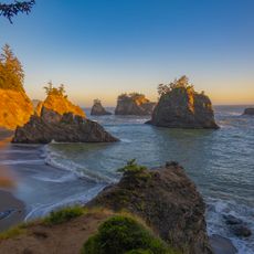
Tolowa Dunes State Park is a coastal park in northern California near Crescent City, covering sand dunes, wetlands, two shallow coastal lakes, and open grasslands. Lake Earl and Lake Tolowa sit at the heart of the park, connected to each other and to the ocean by a network of marshes and dune corridors.

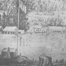
The area was designated a state park in 1925, protecting land that the Tolowa people had inhabited for centuries before American settlers arrived in the 1850s. Oral accounts passed down by the Tolowa describe major earthquakes along the Cascadia subduction zone, giving researchers a record that goes beyond written history.

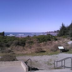
The park takes its name from the Tolowa people, an indigenous group whose descendants still live in the region today. Visitors can find interpretive panels along the trails that speak to this long-standing human presence on the land.

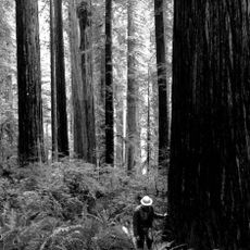
The park is open year-round, but trails can be wet and muddy depending on the season, so sturdy waterproof footwear is a good idea. Several parking areas along Sand Hill Road give direct access to the trails, making it easy to choose a starting point based on where you want to go.

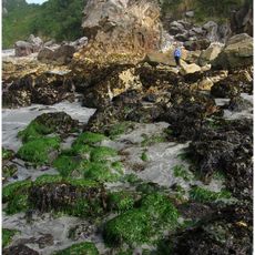
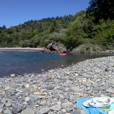
Lake Earl and Lake Tolowa are connected to the Pacific by a narrow channel that opens and closes naturally depending on wave action and rainfall, which means the salinity of the lakes shifts constantly. This ongoing change determines which plants and animals can live there at any given time, making the ecosystem different from one visit to the next.

The community of curious travelers

AroundUs brings together thousands of curated places, local tips, and hidden gems, enriched daily by 60,000 contributors worldwide.

Start exploring
Location
Inception
1925
GPS coordinates
41.86670,-124.20000
Latest update
March 3, 2026 08:11
Around this place
Redwood National and State Parks
United States of America

Redwood National and State Parks

39.4 km
Jedediah Smith Redwoods State Park
United States of America

Jedediah Smith Redwoods State Park

12.5 km
Trees of Mystery
United States of America

Trees of Mystery

32.8 km
Del Norte Coast Redwoods State Park
United States of America

Del Norte Coast Redwoods State Park

24.1 km
St. George Reef Light
United States of America

St. George Reef Light

15 km
Lost Monarch
United States of America

Lost Monarch

12.7 km
Battery Point Light
United States of America

Battery Point Light

13.7 km
Harris Beach State Park
United States of America

Harris Beach State Park

24 km
Samuel H. Boardman State Scenic Corridor
United States of America

Samuel H. Boardman State Scenic Corridor

31 km
Smith River National Recreation Area
United States of America

Smith River National Recreation Area

31.1 km
Castle Rock National Wildlife Refuge
United States of America

Castle Rock National Wildlife Refuge

12.4 km
Thomas Creek Bridge
United States of America

Thomas Creek Bridge

35.8 km
Alfred A. Loeb State Park
United States of America

Alfred A. Loeb State Park

27.4 km
Lone Ranch Beach
United States of America

Lone Ranch Beach

28.4 km
Camp Lincoln
United States of America

Camp Lincoln

7.4 km
Redwood Experimental Forest
United States of America

Redwood Experimental Forest

33 km
Gasquet Ranger Station Historic District
United States of America

Gasquet Ranger Station Historic District

19.6 km
Crissey Field State Recreation Site

Crissey Field State Recreation Site

15 km
Pebble Beach
United States of America

Pebble Beach

11.7 km
Secret Beach
United States of America

Secret Beach

39.2 km
Klamath River Bridge
United States of America

Klamath River Bridge

41.4 km
Sporthaven Beach
United States of America

Sporthaven Beach

20 km
Whaleshead Beach
United States of America

Whaleshead Beach

32.6 km
Redwood Theatre
United States of America

Redwood Theatre

21.7 km
Brotherhood Tree
United States of America

Brotherhood Tree

32.8 km
Douglas Memorial Bridge
United States of America

Douglas Memorial Bridge

40.3 km
Crescent Beach
United States of America

Crescent Beach

15.6 km
Natural Bridges Cove
United States of America

Natural Bridges Cove

38.5 km
Show the full map
Reviews
Share your experience

No review yet

Discussions
Start a discussion...

No discussion yet

« Tolowa Dunes State Park - Coastal state park in Del Norte County, United States » is provided by Around Us (aroundus.com). Images and texts are derived from Wikimedia project under a Creative Commons license. You are allowed to copy, distribute, and modify copies of this page, under the conditions set by the license, as long as this note is clearly visible.

Discover hidden gems everywhere you go!

From secret cafés to breathtaking viewpoints, skip the crowded tourist spots and find places that match your style. Our app makes it easy with voice search, smart filtering, route optimization, and insider tips from travelers worldwide. Download now for the complete mobile experience.

Around Us App Screenshot

A unique approach to discovering new places

Le Figaro

All the places worth exploring

France Info

A tailor-made excursion in just a few clicks

20 Minutes

Around Us
Travel Guide & Maps
Download

Send to your phone

QR Code
1

Open the camera app on your mobile.

2

Point at the QR code with your camera. A notification will appear.

3

Tap the notification to open the link.