Del Norte County

Log in to your account

AroundUs is a community-driven map of interesting places, built by curious explorers like you. It grows with every review, story, and photo you share.
Connect to save your favorite spots, contribute locations, and create personalized routes.
Continue with Google
Continue with Apple
Continue with X
Continue with Facebook
Continue with email
By continuing, you accept our Terms and Conditions and our Privacy Policy
Create an account
Add to collection
Map
Suggest a change
Share

Del Norte County, Administrative county in northern California, US

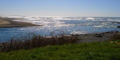
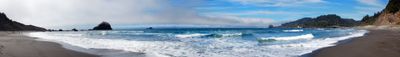
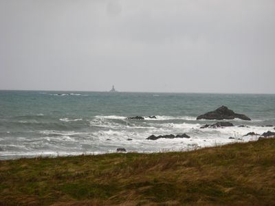
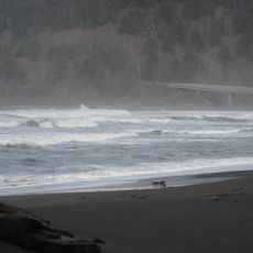
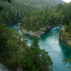
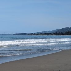
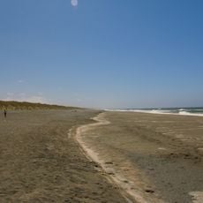
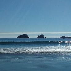
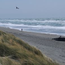
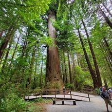
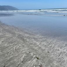
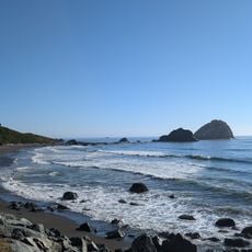
Del Norte County is an administrative region in the far northwest of California, on the Oregon border and along the Pacific coast. The area includes dense coastal forests, several large river valleys, and a narrow strip of sandy beaches washed by cold ocean water.

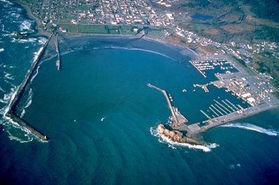
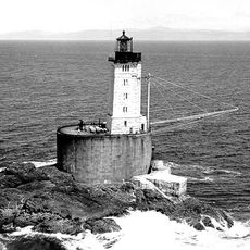
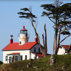
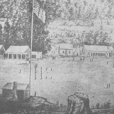
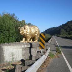
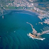
The region was created in 1857 from parts of Klamath County during the California Gold Rush, when settlers and prospectors came to the northwest coast. Crescent City was established as the administrative seat and served as a port for transporting timber and minerals.

The Tolowa and other indigenous peoples used the coast and rivers for fishing and trade over thousands of years. Their descendants still hold traditional ceremonies at sacred sites along the Smith River today.

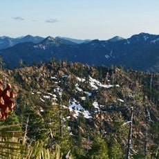
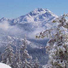
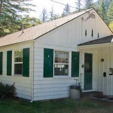
Most public facilities are located in Crescent City, while rural areas are often difficult to reach and have few paved roads. When traveling into remote forest areas, check weather conditions and road status in advance.

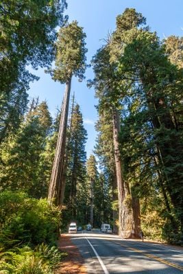
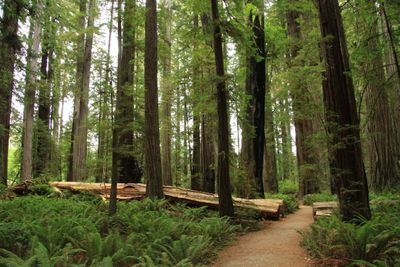
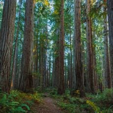
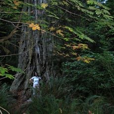
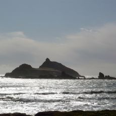
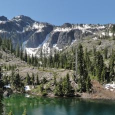
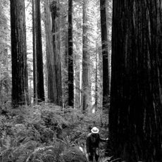
The coast is one of the foggiest zones in the entire western United States, with thick fog almost every summer day. This fog nourishes the coast redwoods and creates an almost fairy-tale landscape when walking through the forests.

Location: California

Inception: 1857

Capital city: Crescent City

Shares border with: Curry County, Humboldt County, Josephine County, Siskiyou County

Website: http://co.del-norte.ca.us

GPS coordinates: 41.74000,-123.96000

Latest update: December 13, 2025 18:36

Photos
Around this place
Redwood National and State Parks
United States of America

Redwood National and State Parks

24.9 km
Jedediah Smith Redwoods State Park
United States of America

Jedediah Smith Redwoods State Park

12.6 km
Trees of Mystery
United States of America

Trees of Mystery

20.2 km
Prairie Creek Redwoods State Park
United States of America

Prairie Creek Redwoods State Park

38 km
United States of America

Grove of Titans

12.4 km
Del Norte Coast Redwoods State Park
United States of America

Del Norte Coast Redwoods State Park

10.9 km
St. George Reef Light
United States of America

St. George Reef Light

36.2 km
Lost Monarch
United States of America

Lost Monarch

12 km
Battery Point Light
United States of America

Battery Point Light

20.2 km
Smith River National Recreation Area
United States of America

Smith River National Recreation Area

8.7 km
Siskiyou Wilderness
United States of America

Siskiyou Wilderness

18.4 km
Castle Rock National Wildlife Refuge
United States of America

Castle Rock National Wildlife Refuge

24.2 km
Pelican State Beach
United States of America

Pelican State Beach

34.9 km
Tolowa Dunes State Park
United States of America

Tolowa Dunes State Park

24.4 km
Bear Mountain
United States of America

Bear Mountain

24.7 km
Preston Peak
United States of America

Preston Peak

30.8 km
Camp Lincoln
United States of America

Camp Lincoln

17.1 km
Redwood Experimental Forest
United States of America

Redwood Experimental Forest

20.2 km
Gasquet Ranger Station Historic District
United States of America

Gasquet Ranger Station Historic District

11.7 km
United States of America

Pyramid Point State Marine Conservation Area

34.6 km
Pebble Beach
United States of America

Pebble Beach

22.7 km
Klamath River Bridge
United States of America

Klamath River Bridge

25.5 km
United States of America

Old Redwood Highway

19 km
United States of America

Myrtle Creek Bridge

10.5 km
Kellogg Road Beach
United States of America

Kellogg Road Beach

25.4 km
Brotherhood Tree
United States of America

Brotherhood Tree

19.9 km
Crescent Beach
United States of America

Crescent Beach

16.9 km
Wilson Creek Beach
United States of America

Wilson Creek Beach

19.3 km
Show the full map
Reviews

Visited this place? Tap the stars to rate it and share your experience / photos with the community! Try now! You can cancel it anytime.

Administrative divisions
« Del Norte County - Administrative county in northern California, US » is provided by Around Us (aroundus.com). Images and texts are derived from Wikimedia project under a Creative Commons license. You are allowed to copy, distribute, and modify copies of this page, under the conditions set by the license, as long as this note is clearly visible.

Discover hidden gems everywhere you go!

From secret cafés to breathtaking viewpoints, skip the crowded tourist spots and find places that match your style. Our app makes it easy with voice search, smart filtering, route optimization, and insider tips from travelers worldwide. Download now for the complete mobile experience.

Around Us App Screenshot

A unique approach to discovering new places

Le Figaro

All the places worth exploring

France Info

A tailor-made excursion in just a few clicks

20 Minutes