Chest opened
+${chestReward.xp} XP
Explorer
NOUVEAU ×${chestReward.collectible.quantity}
tapez pour fermer

See the monuments around you in AR Open chests in the app

Around Us is built for your phone — point your camera at the streets and discover the monuments and places around you in augmented reality. Around Us is built for your phone — chests unlock when you walk, explore and capture nearby places.

•

Enable Location

We need your location to show you interesting places around you

Discover nearby places

Find interesting locations and hidden gems around you

Precise directions

Get accurate directions and distances to places

Your location is never shared with other users. It's only used when you tap the location button.

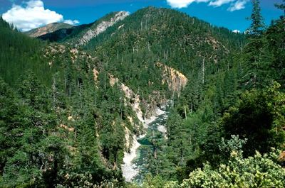
Kalmiopsis Wilderness

Log in to your account

Start exploring — it's free

Trusted by 89,078 travelers worldwide

Continue with Google
Continue with Apple
or

We will send you a code to connect

By continuing, you accept our Terms and Conditions and our Privacy Policy

Check your inbox

We've sent a pincode in your inbox. Please enter the code below.

Discussion Reviews 1 Photos
6.2k Popularity

Kalmiopsis Wilderness, Protected wilderness area in southwestern Oregon, United States

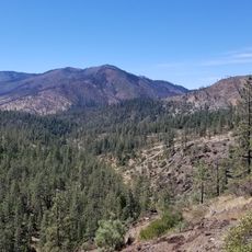
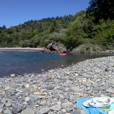
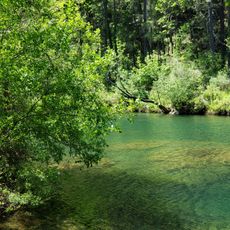
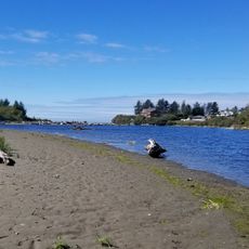
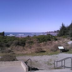
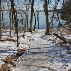
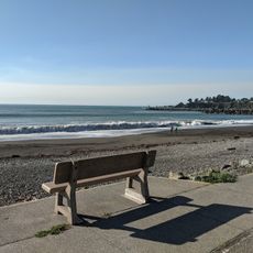
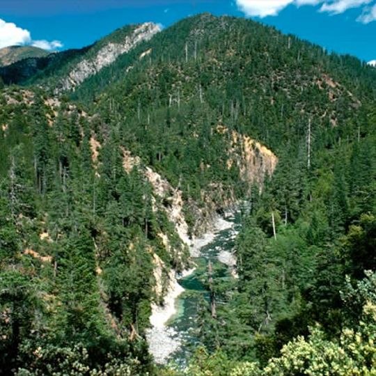
Kalmiopsis Wilderness is a protected reserve in southwestern Oregon covering mountainous terrain with deep canyons and streams. The land varies greatly in elevation and supports different plant and animal communities across its slopes and valleys.

Gold discoveries in the 1850s brought miners to this region and led to mining settlements. Protection as a wilderness area came in 1964, ending extractive activities and preserving the landscape.

The name comes from a rare pink-flowering plant that grows only in this region, linking the landscape to its botanical identity. Locals and visitors recognize the connection between the place and this distinctive species.

More than 150 miles of trails exist throughout the reserve with varying difficulty levels for different abilities. Visitors should carry maps and know how to navigate, especially on less traveled routes.

The eastern section contains rare soil types enriched with minerals like chromium and magnesium. These harsh chemical conditions support plant species found nowhere else, adapted to thrive in what would be impossible growing environments for ordinary plants.

The community of curious travelers

AroundUs brings together thousands of curated places, local tips, and hidden gems, enriched daily by 60,000 contributors worldwide.
Start exploring
Location
Operator
US Forest Service
GPS coordinates
42.24392,-123.96968
Latest update
September 17, 2026 07:06
Around this place
Samuel H. Boardman State Scenic Corridor
United States of America

Samuel H. Boardman State Scenic Corridor

20.9 mi
Rogue River–Siskiyou National Forest
United States of America

Rogue River–Siskiyou National Forest

7.1 mi
Mount Emily
United States of America

Mount Emily

13.6 mi
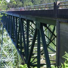
Thomas Creek Bridge
United States of America

Thomas Creek Bridge

20.7 mi
Great Cats World Park
United States of America

Great Cats World Park

17.5 mi
Waldo
United States of America

Waldo

20.8 mi
Alfred A. Loeb State Park
United States of America

Alfred A. Loeb State Park

14.4 mi
Illinois River Forks State Park
United States of America

Illinois River Forks State Park

17 mi
McVay Rock State Recreation Site
United States of America

McVay Rock State Recreation Site

20.6 mi
Winchuck State Recreation Site
United States of America

Winchuck State Recreation Site

20.6 mi
Crissey Field State Recreation Site
United States of America

Crissey Field State Recreation Site

20.8 mi
Illinois River Trail
United States of America

Illinois River Trail

13.5 mi
Sporthaven Beach
United States of America

Sporthaven Beach

20.6 mi
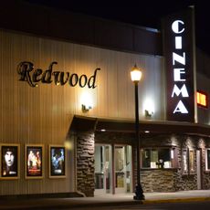
Redwood Theatre
United States of America

Redwood Theatre

20.8 mi
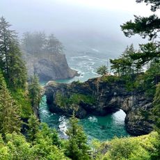
Natural Bridges Cove
United States of America

Natural Bridges Cove

20.7 mi
United States of America

Scenic viewpoint

15.9 mi
United States of America

Japanese Bombing Site Trailhead

13.7 mi
United States of America

Butterfly Pavilion

17.3 mi
United States of America

Chetco Grange

20 mi
United States of America

Scenic viewpoint

15.9 mi
United States of America

Great Cats World Park

17.5 mi
United States of America

Kerby Flat Viewpoint

14.8 mi
United States of America

Scenic viewpoint

20.8 mi
United States of America

Scenic viewpoint

20.8 mi
United States of America

Scenic viewpoint

20.7 mi
United States of America

Scenic viewpoint

20.8 mi
United States of America

Little Illinois River Falls

14.8 mi
United States of America

Illinois River Falls

10.8 mi
Show the full map
Reviews
Share your experience

No review yet

Discussions
Start a discussion...

No discussion yet

« Kalmiopsis Wilderness - Protected wilderness area in southwestern Oregon, United States » is provided by Around Us (aroundus.com). Images and texts are derived from Wikimedia project under a Creative Commons license. You are allowed to copy, distribute, and modify copies of this page, under the conditions set by the license, as long as this note is clearly visible.

Discover hidden gems everywhere you go!

From secret cafés to breathtaking viewpoints, skip the crowded tourist spots and find places that match your style. Our app makes it easy with voice search, smart filtering, route optimization, and insider tips from travelers worldwide. Download now for the complete mobile experience.

Around Us App Screenshot
❝

A unique approach to discovering new places❞

— Le Figaro

❝

All the places worth exploring❞

— France Info

❝

A tailor-made excursion in just a few clicks❞

— 20 Minutes

Around Us
Travel Guide & Maps
Download

Send to your phone

QR Code
1

Open the camera app on your mobile.

2

Point at the QR code with your camera. A notification will appear.

3

Tap the notification to open the link.