Union County

Log in to your account

AroundUs is a community-driven map of interesting places, built by curious explorers like you. It grows with every review, story, and photo you share.
Connect to save your favorite spots, contribute locations, and create personalized routes.
By continuing, you accept our Terms and Conditions and our Privacy Policy
Add to collection
Map
Suggest a change
Share

Union County, County administrative division in Oregon, United States.

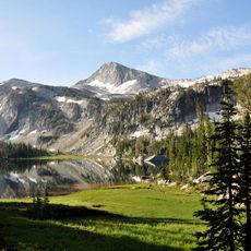
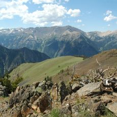
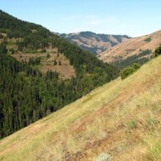
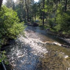
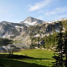
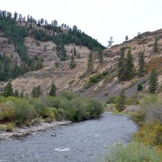
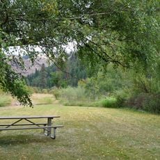
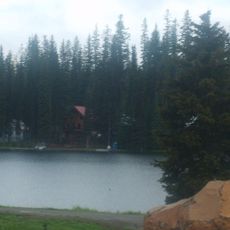
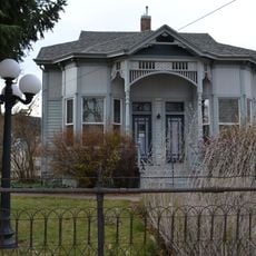
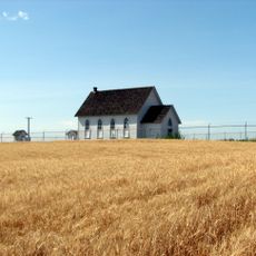
Union County is an administrative division in northeastern Oregon, encompassing a mix of mountainous terrain, river valleys, and rural communities. The landscape transitions from forested ridges to agricultural areas spread across the region.

Union County was established in 1864 when the Oregon Legislature divided portions of Baker County into new territories. Its growth followed gold discoveries and cattle ranching activities during the 1800s.

Local festivals in Union County maintain agricultural traditions with regular exhibitions of regional produce and traditional farming methods.

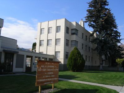
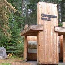
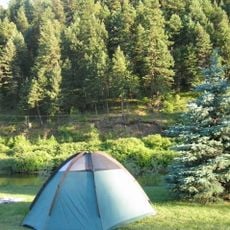
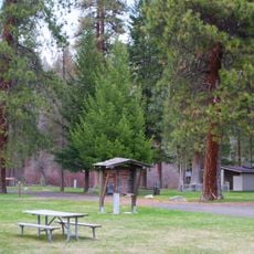
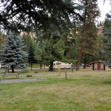
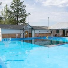
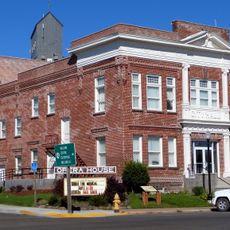
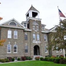
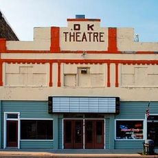
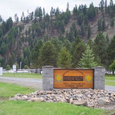
Public services and government offices are centered around La Grande, the county's largest town. Visitors should plan for rural road conditions and changeable weather, as the region is accessed primarily by car.

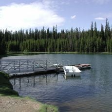
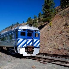
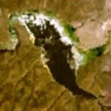
The region's natural boundaries are defined by the Blue Mountains, which contain distinctive geological formations. These mountains shape much of the local economy and outdoor recreation opportunities found throughout the area.

GPS coordinates: 45.26800,-118.02575

Latest update: December 7, 2025 19:26

Photos
Around this place
Wallowa Mountains
United States of America

Wallowa Mountains

57 km
Eagle Cap Wilderness
United States of America

Eagle Cap Wilderness

45.8 km
Hot Lake Hotel
United States of America

Hot Lake Hotel

6.1 km
Sacajawea Peak
United States of America

Sacajawea Peak

57.5 km
Emigrant Springs State Heritage Area
United States of America

Emigrant Springs State Heritage Area

45.8 km
North Fork Umatilla Wilderness
United States of America

North Fork Umatilla Wilderness

50.9 km
Tamástslikt Cultural Institute
United States of America

Tamástslikt Cultural Institute

65.8 km
Jubilee Lake
United States of America

Jubilee Lake

62.9 km
Catherine Creek State Park
United States of America

Catherine Creek State Park

26 km
Eagle Cap
United States of America

Eagle Cap

57.9 km
Wallowa Lake Highway Forest State Scenic Corridor
United States of America

Wallowa Lake Highway Forest State Scenic Corridor

47.6 km
Hilgard Junction State Recreation Area
United States of America

Hilgard Junction State Recreation Area

18.6 km
Red Bridge State Wayside
United States of America

Red Bridge State Wayside

24.2 km
Minam State Recreation Area
United States of America

Minam State Recreation Area

62.2 km
Eagle Cap Excursion Train
United States of America

Eagle Cap Excursion Train

34.3 km
Wallowa River Rest Area
United States of America

Wallowa River Rest Area

48.7 km
Cove Hot Springs Pool
United States of America

Cove Hot Springs Pool

16.8 km
Elgin Opera House
United States of America

Elgin Opera House

34.2 km
Thief Valley Reservoir
United States of America

Thief Valley Reservoir

32.3 km
Wallowa County Courthouse
United States of America

Wallowa County Courthouse

61.1 km
Langdon Lake
United States of America

Langdon Lake

57 km
OK Theatre
United States of America

OK Theatre

61 km
Abel E. Eaton House
United States of America

Abel E. Eaton House

14.1 km
RiverBend Alternative Education School
United States of America

RiverBend Alternative Education School

18.6 km
John Anthony House
United States of America

John Anthony House

8.3 km
Greasewood Finnish Apostolic Lutheran Church
United States of America

Greasewood Finnish Apostolic Lutheran Church

75.3 km
Wallowa Ranger Station
United States of America

Wallowa Ranger Station

51 km
Ascension Episcopal Church
United States of America

Ascension Episcopal Church

17.1 km
Show the full map
Reviews

Visited this place? Tap the stars to rate it and share your experience / photos with the community! Try now! You can cancel it anytime.

« Union County - County administrative division in Oregon, United States » is provided by Around Us (aroundus.com). Images and texts are derived from Wikimedia project under a Creative Commons license. You are allowed to copy, distribute, and modify copies of this page, under the conditions set by the license, as long as this note is clearly visible.

Discover hidden gems everywhere you go!

From secret cafés to breathtaking viewpoints, skip the crowded tourist spots and find places that match your style. Our app makes it easy with voice search, smart filtering, route optimization, and insider tips from travelers worldwide. Download now for the complete mobile experience.

Around Us App Screenshot

A unique approach to discovering new places

Le Figaro

All the places worth exploring

France Info

A tailor-made excursion in just a few clicks

20 Minutes