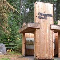
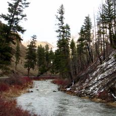
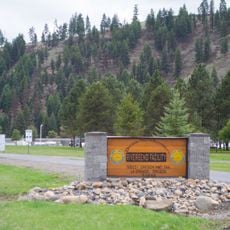
Red Bridge State Wayside, State park and rest area in Union County, Oregon
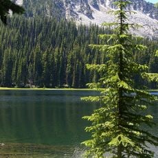
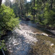
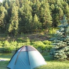
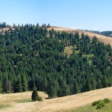
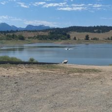
Red Bridge State Wayside is a facility situated along the Grande Ronde River offering camping and picnicking spaces beneath ponderosa pines and cottonwoods. The site provides primitive tent sites and RV spots for visitors looking to spend time in this scenic location.
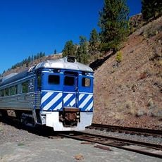
The land was acquired in 1951 through an exchange with Mt Emily Lumber Company, followed by railroad rights secured from Boise Cascade Corporation in 1961. These transactions established the foundation for public use of this location.
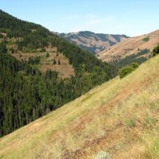
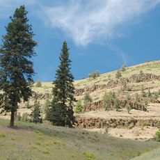
The wayside draws people who fish, hunt, and forage for mushrooms in the surrounding mountain terrain. It functions as a meeting point for those seeking outdoor pursuits in this rural corner of Oregon.
This location operates seasonally from May through October on a first-come, first-served basis without reservations. Arriving early, especially on weekends, helps ensure you secure a good spot for your stay.
The name comes from an old bridge over the Grande Ronde River that Union County maintained by painting it red. This bridge gives the wayside its distinctive name and represents a small piece of local history.
The community of curious travelers
AroundUs brings together thousands of curated places, local tips, and hidden gems, enriched daily by 60,000 contributors worldwide.